UN/LOCODE hub · Switzerland
CHBEK
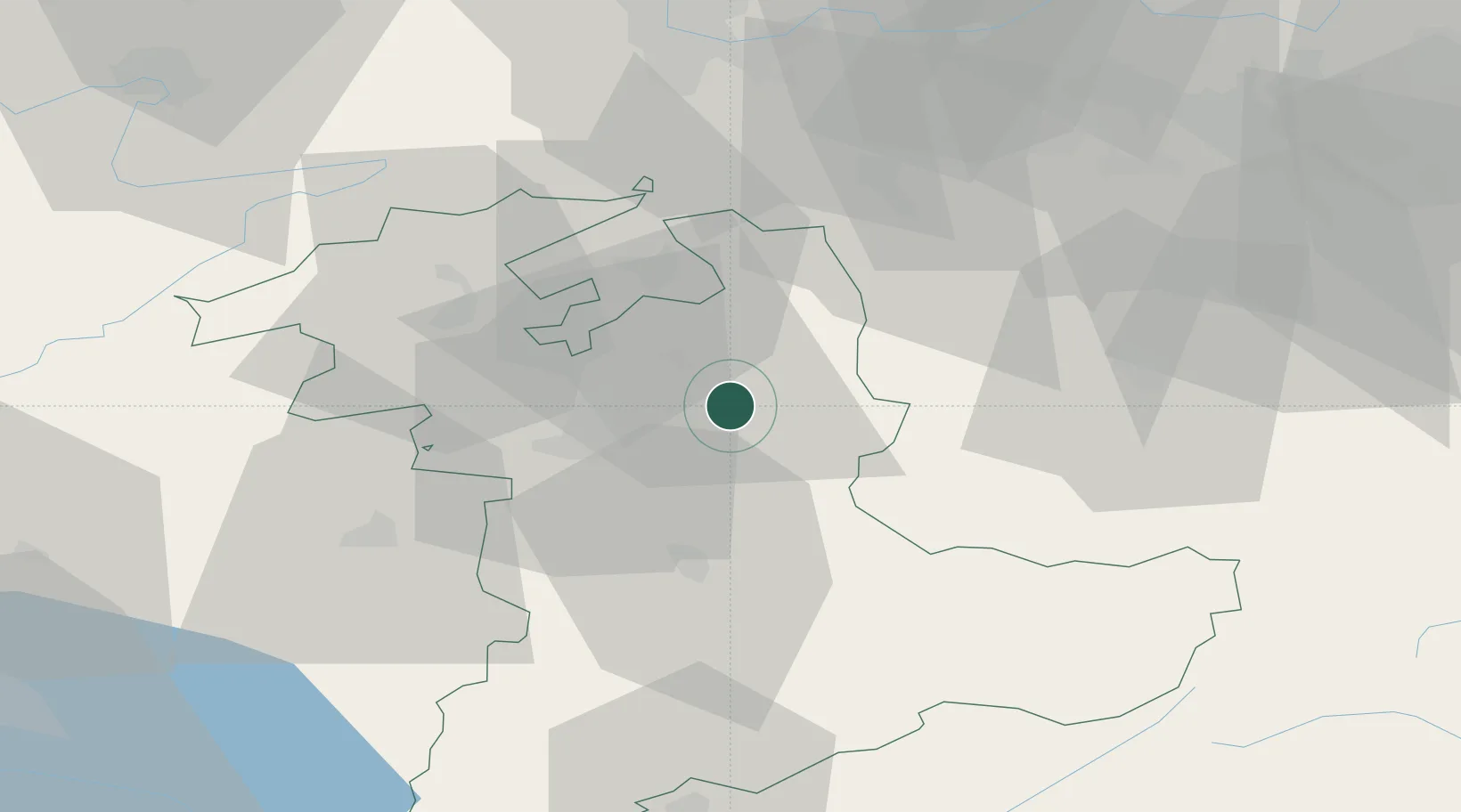
Kirchlindach
47.0000°, 7.6833°
2,553
Population
1
Transport functions
Transport Functions
Multimodal
Hub Profile
Place type
Populated place
Region
Bern
Population
2,553
Time zone
Europe/Zurich
Elevation
593 m
Location
Nearby Logistics Neighbours
Cities
- 1Lützelflüh2 km
- 2Sumiswald6 km
- 3Hofstatt8 km
- 4Oberburg8 km
- 5Affoltern im Emmental8 km
Ports
- 1Genova305 km
- 2Savona305 km
- 3Rada Di Vado310 km
- 4Chiavari - Lavagna326 km
- 5Imperia348 km
Airports
- 1Bern Airport17 km
- 2Grenchen Airfield29 km
- 3Alpnach Air Base46 km
- 4Emmen Air Base48 km
- 5Payerne Air Base61 km
Trade Zones
- 1ZFU Mulhouse87 km
- 2ZFU Montbéliard88 km
- 3PESA - Port-Franc et Entrepôts de Lausanne-Chavornay SA91 km
- 4ZFU Belfort98 km
- 5Port Franc Vevey104 km
DatabookThe Record of Consolidated Knowledge
Switzerland beyond logistics?