Transport Functions
Rail
Road
Hub Profile
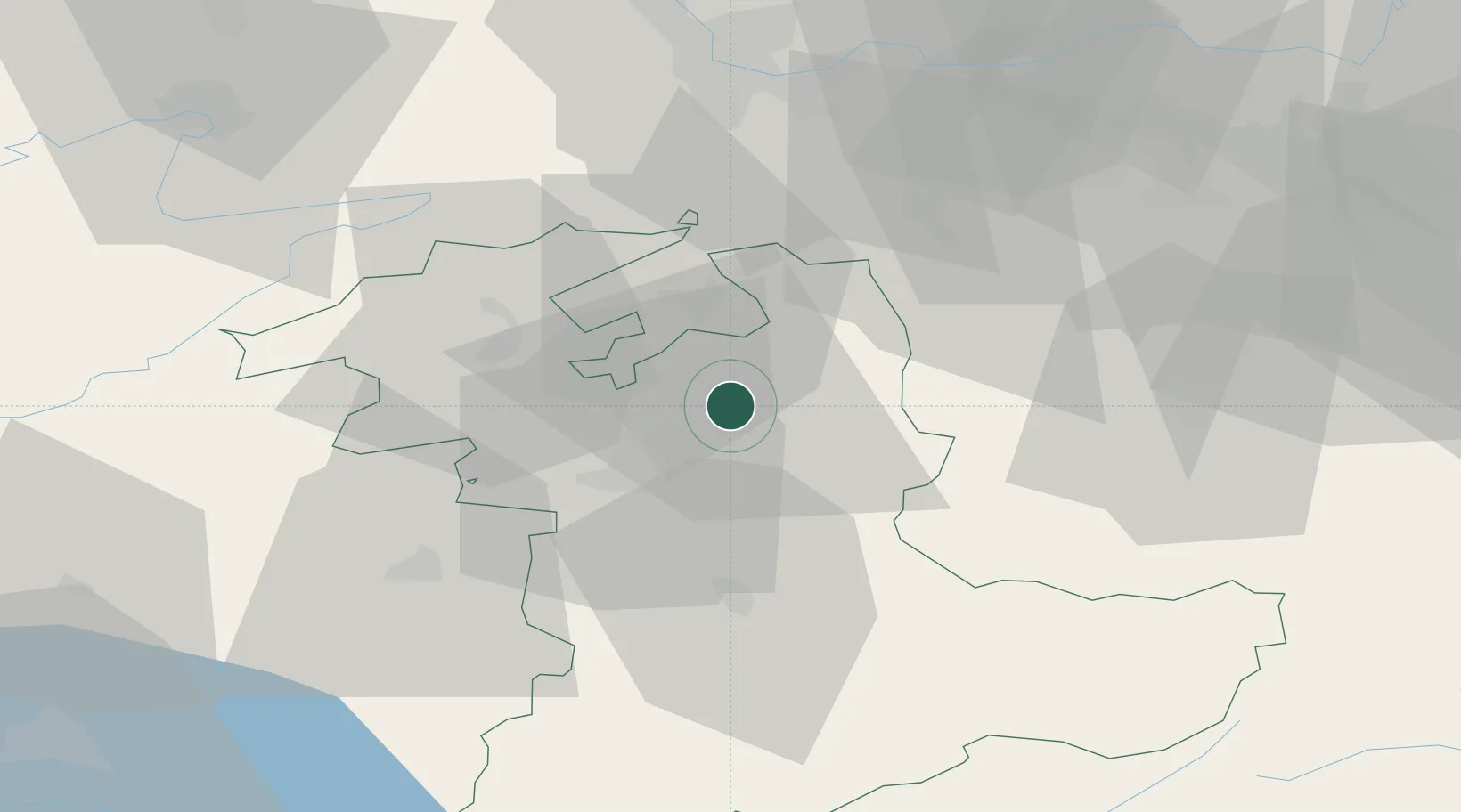
Place type
Populated place
Region
Lucerne
Time zone
Europe/Zurich
Elevation
705 m
Location
Nearby Logistics Neighbours
Cities
- 1Oberburg0 km
- 2Kirchberg5 km
- 3Rüdtligen-Alchenflüh5 km
- 4Lützelflüh6 km
- 5Hindelbank7 km
Ports
- 1Savona312 km
- 2Genova312 km
- 3Rada Di Vado316 km
- 4Chiavari - Lavagna333 km
- 5Imperia354 km
Airports
- 1Bern Airport18 km
- 2Grenchen Airfield21 km
- 3Alpnach Air Base52 km
- 4Emmen Air Base52 km
- 5Payerne Air Base58 km
Trade Zones
- 1ZFU Montbéliard81 km
- 2ZFU Mulhouse81 km
- 3PESA - Port-Franc et Entrepôts de Lausanne-Chavornay SA89 km
- 4ZFU Belfort90 km
- 5Port Franc Vevey103 km
DatabookThe Record of Consolidated Knowledge
Switzerland beyond logistics?