Transport Functions
Rail
Road
Hub Profile
Place type
Populated place
Region
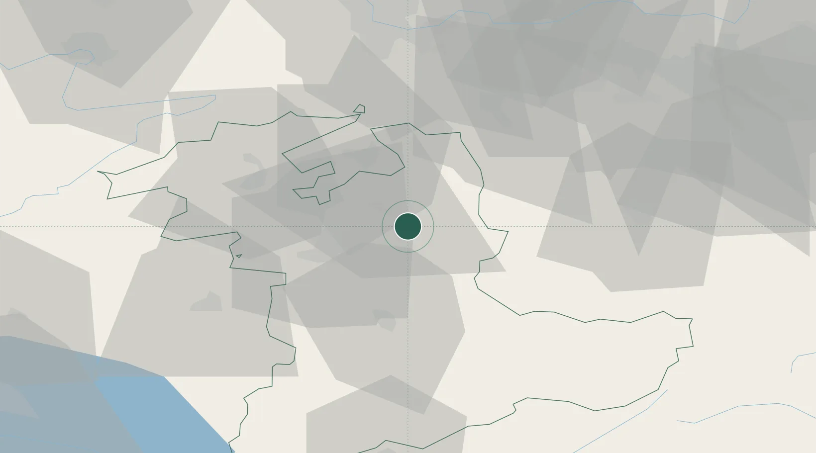
Bern
Population
4,035
Time zone
Europe/Zurich
Elevation
608 m
Location
Nearby Logistics Neighbours
Cities
- 1Kirchlindach2 km
- 2Sumiswald5 km
- 3Hofstatt6 km
- 4Oberburg6 km
- 5Affoltern im Emmental7 km
Ports
- 1Genova307 km
- 2Savona307 km
- 3Rada Di Vado312 km
- 4Chiavari - Lavagna327 km
- 5Imperia350 km
Airports
- 1Bern Airport18 km
- 2Grenchen Airfield27 km
- 3Alpnach Air Base46 km
- 4Emmen Air Base48 km
- 5Payerne Air Base61 km
Trade Zones
- 1ZFU Mulhouse86 km
- 2ZFU Montbéliard87 km
- 3PESA - Port-Franc et Entrepôts de Lausanne-Chavornay SA92 km
- 4ZFU Belfort96 km
- 5Port Franc Vevey105 km
DatabookThe Record of Consolidated Knowledge
Switzerland beyond logistics?