Medium airport · Congo - Kinshasa

Gbadolite AirportFZFD
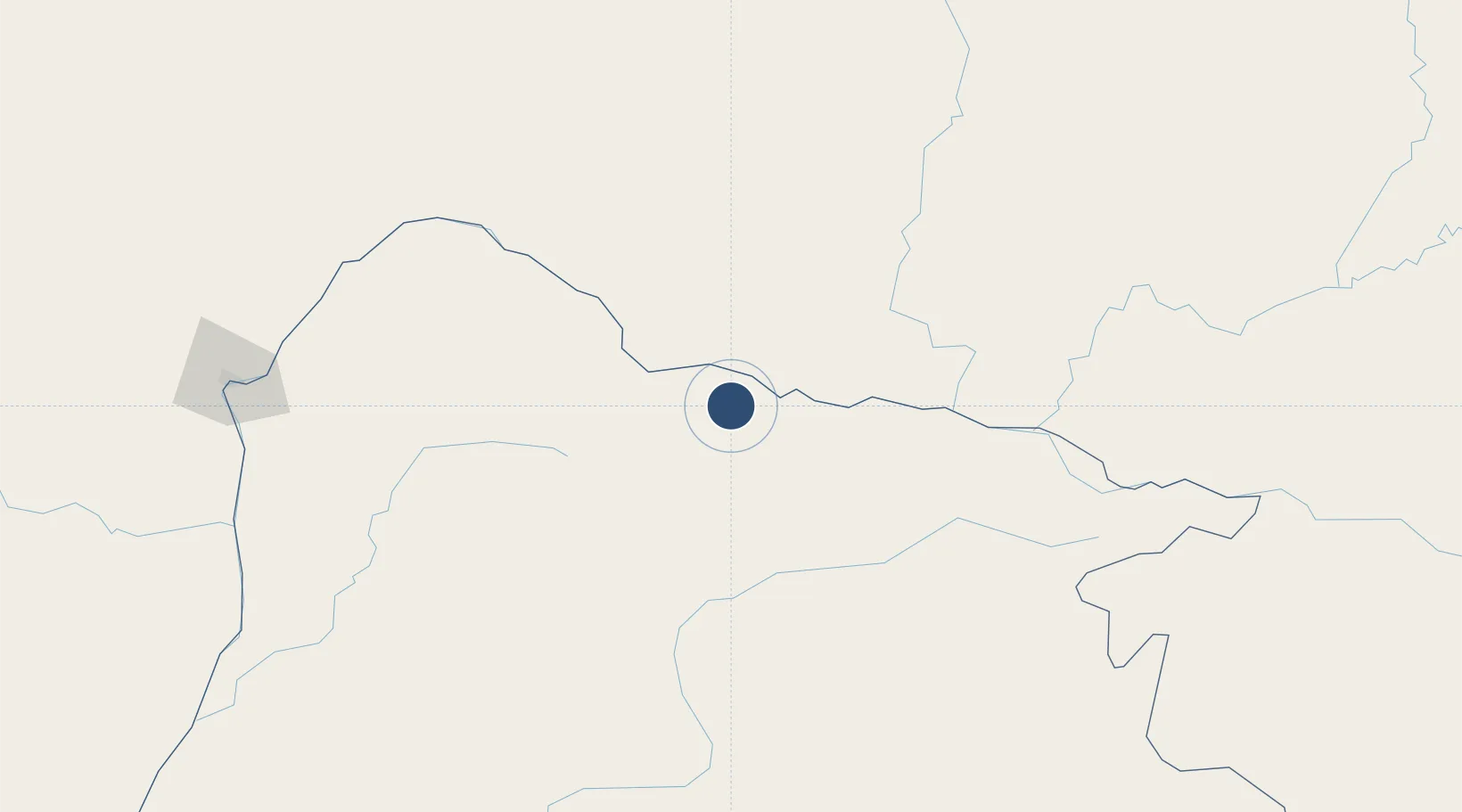
4.2527°, 20.9753°
10,499 ft
Longest runway
1
Runways
1,509 ft
Elevation

Runway & Layout

Gbadolite Airport runway & taxiway layout
Runway & taxiway layout — OpenStreetMap (ODbL) / OurAirports

Radio Frequencies

TWR
118.3 MHz
OurAirports

Navaids

BLT VOR-DME Gbadolite 112.10 MHz
BLT NDB Gbadolite 310 kHz
OurAirports

Runways · 1

RunwayDimensions SurfaceTrue headingLit
07/25 10,499 × 197ft Asphalt 073°
OurAirports

Airport Specifications

IATA code
BDT
OurAirports
ICAO code
FZFD
OurAirports
Airport class
Medium airport
OurAirports
Scheduled service
Yes
OurAirports
Runway surface
Asphalt
OurAirports
Served city
Gbadolite
OurAirports

Location

Location of FZFD
Natural Earth 10m (public domain) · Équateur · FZFD · 4.25, 20.98GoogleOSMYandex

Nearby Logistics Neighbours

Airports
  1. 1Gemena Airport175 km
  2. 2Lisala Airport239 km
  3. 3Bangui M'Poko International Airport273 km
  4. 4Buta Zega Airport453 km
  5. 5Boende Airport505 km
Nearest neighbours — logibook spatial index (haversine) over the source coordinates
Cities
  1. 1Togo161 km
  2. 2Zongo264 km
  3. 3Makala445 km
  4. 4Komé664 km
  5. 5Oyo670 km
Nearest neighbours — logibook spatial index (haversine) over the source coordinates
Ports
  1. 1Matadi1397 km
  2. 2Boma1427 km
  3. 3Pointe Noire1429 km
  4. 4Djeno Terminal1435 km
  5. 5M'bya Oil Terminal1436 km
Nearest neighbours — logibook spatial index (haversine) over the source coordinates
Trade Zones
  1. 1Cite Lumiere Kwa na Kwa Economic Zone268 km
  2. 2Ouesso Special Economic Zone620 km
  3. 3Oyo-Ollombo Special Economic Zone826 km
  4. 4Ngaoundere Industrial Zone888 km
  5. 5Djamboutou Garoua Industrial Zone1011 km
Nearest neighbours — logibook spatial index (haversine) over the source coordinates
DatabookThe Record of Consolidated Knowledge
Congo - Kinshasa beyond logistics?
Browse databook

All Sources

AirportsOurAirports
Public domain
Portsthe NGA World Port Index
Public domain (US gov)
LocationsUN/LOCODE
UN/LOCODE — free
Trade Zonesthe World Bank SEZ database
CC BY 4.0
Trade ZonesOpen Zone Map
CC BY
InfrastructureOpenStreetMap
ODbL 1.0
← Congo - Kinshasa airports