UN/LOCODE hub · Canada
CAYYZ

Pearson International Apt/Toronto

43.7000°, -79.6333°
3
Transport functions

Transport Functions

Rail
Road
Airport
UN/LOCODE

Hub Profile

Region
ON
GeoNames

Location

Location of CAYYZ
Natural Earth 10m (public domain) · ON · CAYYZ · 43.70, -79.63GoogleOSMYandex

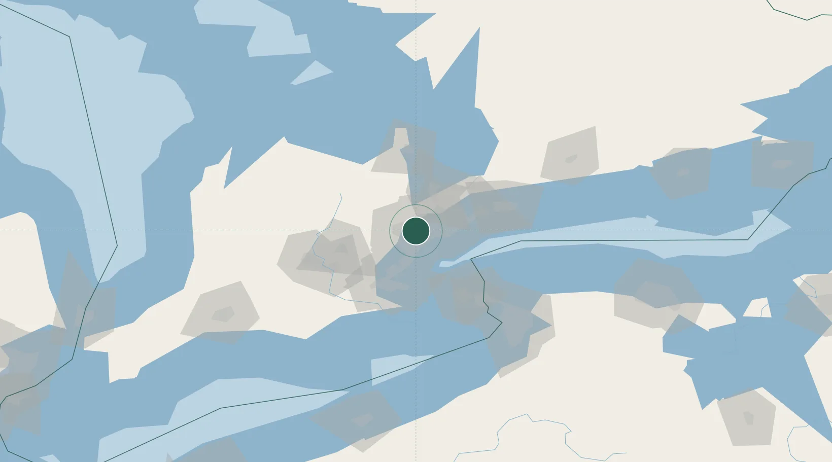
Nearby Logistics Neighbours

Cities
  1. 1Toronto2 km
  2. 2Bramalea7 km
  3. 3Vaughan10 km
  4. 4Weston11 km
  5. 5Streetsville15 km
Nearest neighbours — logibook spatial index (haversine) over the source coordinates
Ports
  1. 1Port Credit17 km
  2. 2Toronto22 km
  3. 3Clarkson22 km
  4. 4Oakville30 km
  5. 5Hamilton53 km
Nearest neighbours — logibook spatial index (haversine) over the source coordinates
Airports
  1. 1Toronto Pearson International Airport3 km
  2. 2Brampton-Caledon Airport21 km
  3. 3Billy Bishop Toronto City Airport21 km
  4. 4John C. Munro Hamilton International Airport63 km
  5. 5Oshawa Executive Airport64 km
Nearest neighbours — logibook spatial index (haversine) over the source coordinates
Trade Zones
  1. 1FTZ No. 034 Niagara County59 km
  2. 2Niagara Foreign Trade Zone83 km
  3. 3FTZ No. 023 Buffalo110 km
  4. 4FTZ No. 141 Monroe County142 km
  5. 5FTZ No. 247 Erie180 km
Nearest neighbours — logibook spatial index (haversine) over the source coordinates
DatabookThe Record of Consolidated Knowledge
Canada beyond logistics?
Browse databook

All Sources

LocationsUN/LOCODE
UN/LOCODE — free
Portsthe NGA World Port Index
Public domain (US gov)
AirportsOurAirports
Public domain
Trade Zonesthe World Bank SEZ database
CC BY 4.0
Trade ZonesOpen Zone Map
CC BY
← Canada locations