Transport Functions
Rail
Road
Hub Profile
Place type
Populated place
Region
Ontario
Population
323,103
Time zone
America/Toronto
Elevation
218 m
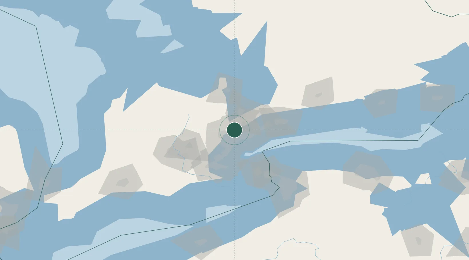
Location
Nearby Logistics Neighbours
Cities
- 1Kleinburg10 km
- 2Pearson International Apt/Toronto10 km
- 3Weston11 km
- 4Toronto12 km
- 5Bramalea13 km
Ports
- 1Toronto25 km
- 2Port Credit26 km
- 3Clarkson32 km
- 4Oakville40 km
- 5Port Whitby53 km
Airports
Trade Zones
- 1FTZ No. 034 Niagara County64 km
- 2Niagara Foreign Trade Zone88 km
- 3FTZ No. 023 Buffalo116 km
- 4FTZ No. 141 Monroe County142 km
- 5FTZ No. 247 Erie190 km
DatabookThe Record of Consolidated Knowledge
Canada beyond logistics?