UN/LOCODE hub · Canada
CATOR

Toronto

43.6847°, -79.6266°
2,794,356
Population
3
Transport functions

Transport Functions

Port
Airport
Postal
Toronto is also a profiled seaport →
UN/LOCODE

Hub Profile

Place type
Regional capital
GeoNames
Region
Ontario
GeoNames
Population
2,794,356
GeoNames
Time zone
America/Toronto
GeoNames
Elevation
161 m
GeoNames
Logistics facilities
86
UN/LOCODE

Location

Location of CATOR
Natural Earth 10m (public domain) · Ontario · CATOR · 43.68, -79.63GoogleOSMYandex

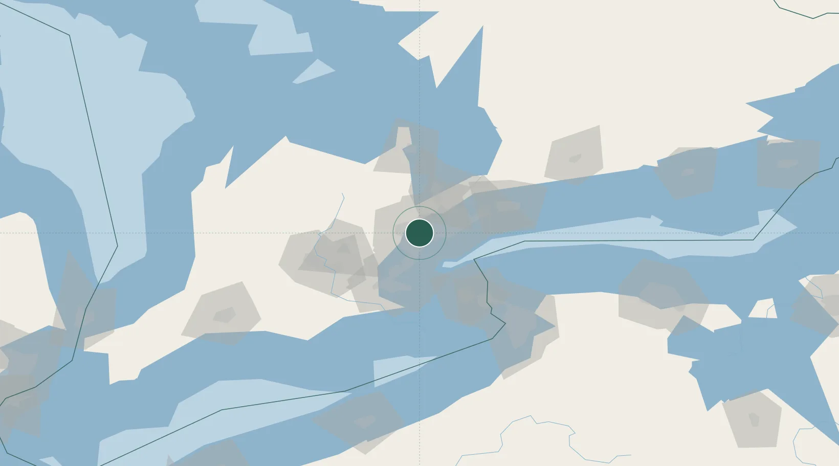
Nearby Logistics Neighbours

Cities
  1. 1Pearson International Apt/Toronto2 km
  2. 2Bramalea8 km
  3. 3Weston10 km
  4. 4Vaughan12 km
  5. 5Streetsville13 km
Nearest neighbours — logibook spatial index (haversine) over the source coordinates
Ports
  1. 1Port Credit15 km
  2. 2Clarkson21 km
  3. 3Oakville28 km
  4. 4Hamilton52 km
  5. 5Port Whitby59 km
Nearest neighbours — logibook spatial index (haversine) over the source coordinates
Airports
  1. 1Toronto Pearson International Airport1 km
  2. 2Billy Bishop Toronto City Airport20 km
  3. 3Brampton-Caledon Airport22 km
  4. 4John C. Munro Hamilton International Airport62 km
  5. 5Oshawa Executive Airport64 km
Nearest neighbours — logibook spatial index (haversine) over the source coordinates
Trade Zones
  1. 1FTZ No. 034 Niagara County58 km
  2. 2Niagara Foreign Trade Zone81 km
  3. 3FTZ No. 023 Buffalo109 km
  4. 4FTZ No. 141 Monroe County141 km
  5. 5FTZ No. 247 Erie179 km
Nearest neighbours — logibook spatial index (haversine) over the source coordinates
DatabookThe Record of Consolidated Knowledge
Canada beyond logistics?
Browse databook

All Sources

LocationsUN/LOCODE
UN/LOCODE — free
LocationsGeoNames
CC BY 4.0
Portsthe NGA World Port Index
Public domain (US gov)
AirportsOurAirports
Public domain
Trade Zonesthe World Bank SEZ database
CC BY 4.0
Trade ZonesOpen Zone Map
CC BY
← Canada locations