Medium airport · Canada

Oshawa Executive AirportCYOO
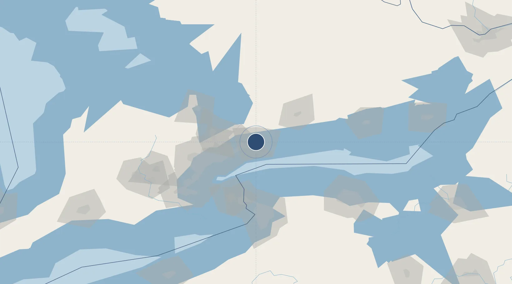
43.9228°, -78.8950°
4,750 ft
Longest runway
2
Runways
460 ft
Elevation

Runway & Layout

Oshawa Executive Airport runway & taxiway layout
Runway & taxiway layout — OpenStreetMap (ODbL) / OurAirports

Radio Frequencies

ATIS
125.675 MHz
TWR
120.1 MHz
GND
118.4 MHz
APP
133.4 MHz
TORONTO TRML
A/G
120.1 MHz
MF
OurAirports

Navaids

IOO DME Oshawa 111.35 MHz
OO NDB Oshawa 391 kHz
OurAirports

Runways · 2

RunwayDimensions SurfaceTrue headingLit
12/30 4,750 × 100ft Asphalt 109°
05/23 2,654 × 100ft Asphalt 035°
OurAirports

Airport Specifications

IATA code
YOO
OurAirports
ICAO code
CYOO
OurAirports
Airport class
Medium airport
OurAirports
Scheduled service
No
OurAirports
Runway surface
Asphalt
OurAirports
Served city
Oshawa
OurAirports

Location

Location of CYOO
Natural Earth 10m (public domain) · Ontario · CYOO · 43.92, -78.89GoogleOSMYandex

Nearby Logistics Neighbours

Airports
  1. 1Billy Bishop Toronto City Airport52 km
  2. 2Peterborough Regional Airport55 km
  3. 3Toronto Pearson International Airport65 km
  4. 4Brampton-Caledon Airport81 km
  5. 5Barrie-Lake Simcoe Regional Airport82 km
Nearest neighbours — logibook spatial index (haversine) over the source coordinates
Cities
  1. 1Ashburn6 km
  2. 2Claremont20 km
  3. 3Blackstock22 km
  4. 4West Hill22 km
  5. 5Newcastle25 km
Nearest neighbours — logibook spatial index (haversine) over the source coordinates
Ports
  1. 1Port Whitby9 km
  2. 2Oshawa9 km
  3. 3Port Hope49 km
  4. 4Toronto52 km
  5. 5Cobourg58 km
Nearest neighbours — logibook spatial index (haversine) over the source coordinates
Trade Zones
  1. 1FTZ No. 034 Niagara County69 km
  2. 2Niagara Foreign Trade Zone93 km
  3. 3FTZ No. 141 Monroe County103 km
  4. 4FTZ No. 023 Buffalo117 km
  5. 5FTZ No. 289 Ontario County164 km
Nearest neighbours — logibook spatial index (haversine) over the source coordinates
DatabookThe Record of Consolidated Knowledge
Canada beyond logistics?
Browse databook

All Sources

AirportsOurAirports
Public domain
Portsthe NGA World Port Index
Public domain (US gov)
LocationsUN/LOCODE
UN/LOCODE — free
Trade Zonesthe World Bank SEZ database
CC BY 4.0
Trade ZonesOpen Zone Map
CC BY
InfrastructureOpenStreetMap
ODbL 1.0
← Canada airports