Transport Functions
Rail
Road
Hub Profile
Place type
Urban district
Region
Ontario
Population
17,992
Time zone
America/Toronto
Elevation
133 m
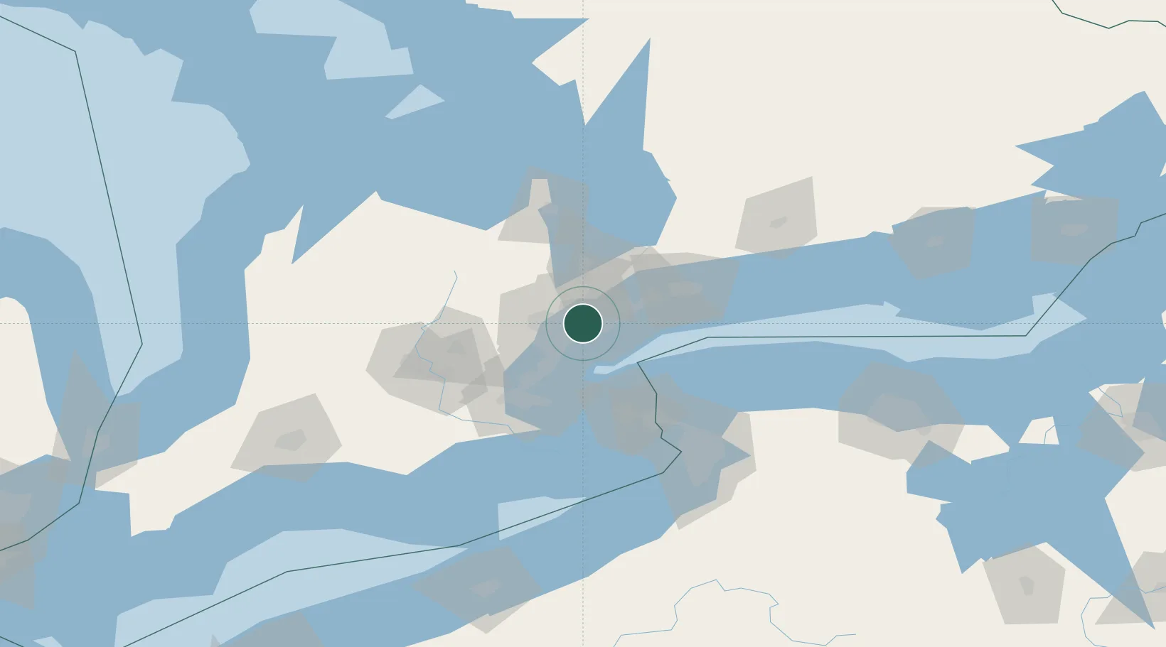
Location
Nearby Logistics Neighbours
Cities
- 1York4 km
- 2Toronto10 km
- 3Pearson International Apt/Toronto11 km
- 4Vaughan11 km
- 5Bramalea18 km
Ports
- 1Toronto13 km
- 2Port Credit18 km
- 3Clarkson24 km
- 4Oakville33 km
- 5Port Whitby49 km
Airports
Trade Zones
- 1FTZ No. 034 Niagara County52 km
- 2Niagara Foreign Trade Zone77 km
- 3FTZ No. 023 Buffalo105 km
- 4FTZ No. 141 Monroe County132 km
- 5FTZ No. 247 Erie183 km
DatabookThe Record of Consolidated Knowledge
Canada beyond logistics?