UN/LOCODE hub · Canada
CAAVP

Avonport

45.1000°, -64.2500°
3
Transport functions

Transport Functions

Port
Rail
Road
UN/LOCODE

Hub Profile

Place type
Populated place
GeoNames
Region
Nova Scotia
GeoNames
Time zone
America/Halifax
GeoNames
Elevation
43 m
GeoNames

Location

Location of CAAVP
Natural Earth 10m (public domain) · Nova Scotia · CAAVP · 45.10, -64.25GoogleOSMYandex

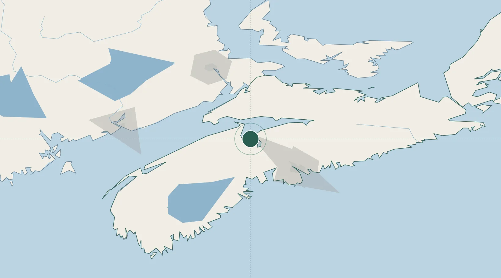
Nearby Logistics Neighbours

Cities
  1. 1Wolfville9 km
  2. 2Port Williams12 km
  3. 3Windsor16 km
  4. 4Walton22 km
  5. 5Berwick39 km
Nearest neighbours — logibook spatial index (haversine) over the source coordinates
Ports
  1. 1Windsor14 km
  2. 2Halifax73 km
  3. 3Musquodoboit Harbour94 km
  4. 4Liverpool (Brooklyn)123 km
  5. 5Digby131 km
Nearest neighbours — logibook spatial index (haversine) over the source coordinates
Airports
  1. 1CFB Greenwood54 km
  2. 2Halifax / Stanfield International Airport63 km
  3. 3Fox Harbour Airport105 km
  4. 4Greater Moncton Roméo LeBlanc International Airport118 km
  5. 5Saint John Airport131 km
Nearest neighbours — logibook spatial index (haversine) over the source coordinates
Trade Zones
  1. 1Halifax Gateway73 km
  2. 2Saint John144 km
  3. 3Cape Breton Regional Municipality Foreign Trade Zone297 km
  4. 4FTZ No. 058 Bangor361 km
  5. 5FTZ No. 179 Madawaska397 km
Nearest neighbours — logibook spatial index (haversine) over the source coordinates
DatabookThe Record of Consolidated Knowledge
Canada beyond logistics?
Browse databook

All Sources

LocationsUN/LOCODE
UN/LOCODE — free
Portsthe NGA World Port Index
Public domain (US gov)
AirportsOurAirports
Public domain
Trade Zonesthe World Bank SEZ database
CC BY 4.0
Trade ZonesOpen Zone Map
CC BY
← Canada locations