Transport Functions
Rail
Road
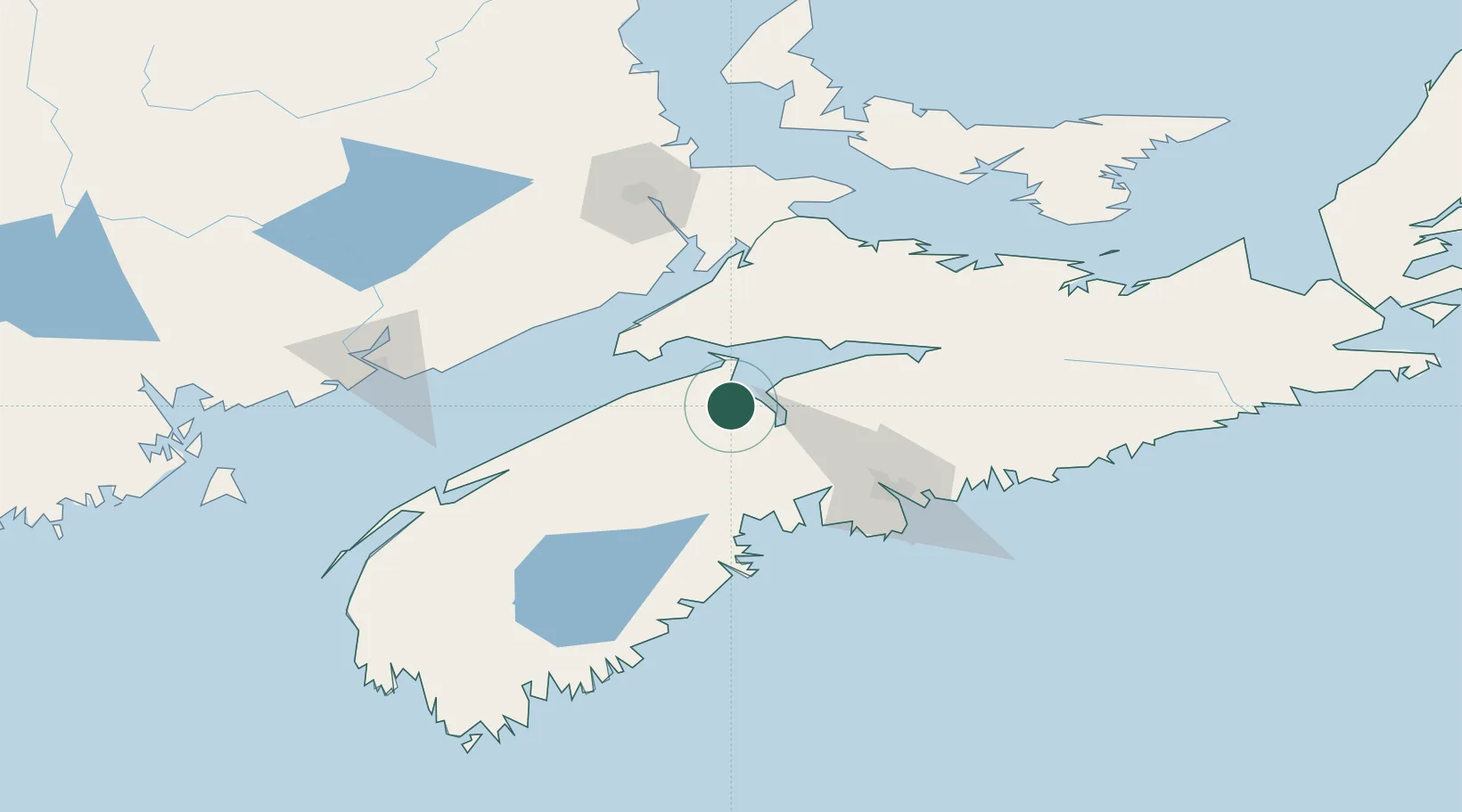
Hub Profile
Place type
Populated place
Region
Nova Scotia
Population
4,195
Time zone
America/Halifax
Elevation
53 m
Location
Nearby Logistics Neighbours
Cities
- 1Port Williams3 km
- 2Avonport9 km
- 3Windsor21 km
- 4Berwick29 km
- 5Walton31 km
Ports
- 1Windsor19 km
- 2Halifax78 km
- 3Musquodoboit Harbour101 km
- 4Liverpool (Brooklyn)119 km
- 5Digby122 km
Airports
Trade Zones
- 1Halifax Gateway78 km
- 2Saint John135 km
- 3Cape Breton Regional Municipality Foreign Trade Zone306 km
- 4FTZ No. 058 Bangor352 km
- 5FTZ No. 179 Madawaska392 km
DatabookThe Record of Consolidated Knowledge
Canada beyond logistics?