Transport Functions
Port
Rail
Road
Hub Profile
Place type
Populated place
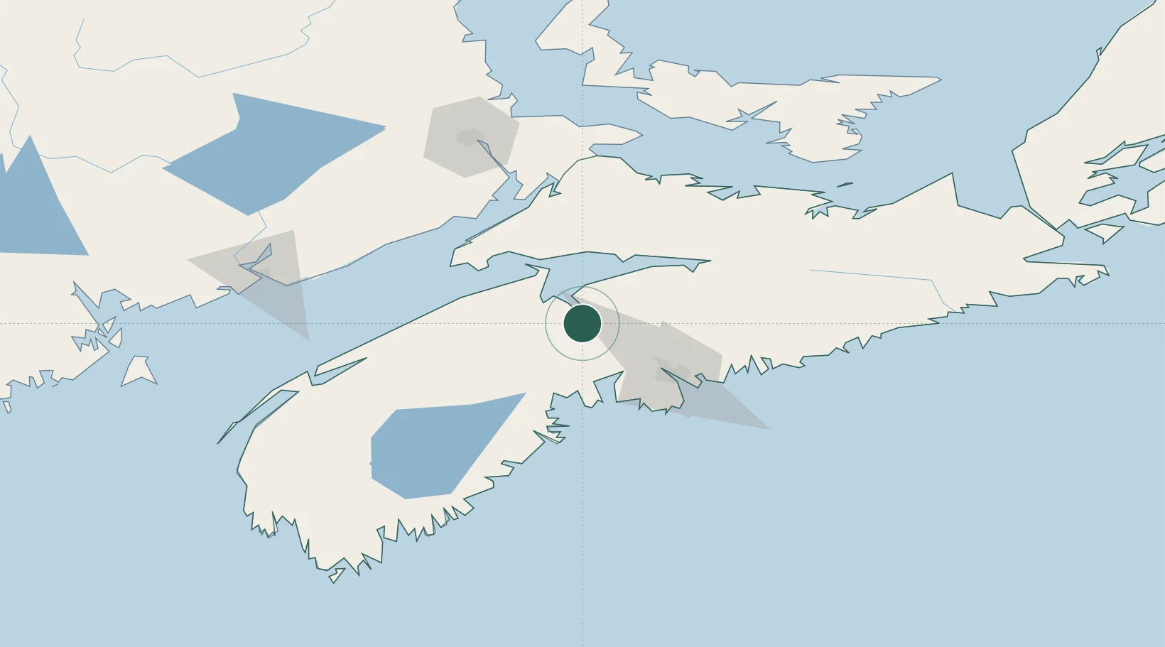
Region
Nova Scotia
Population
3,864
Time zone
America/Halifax
Elevation
11 m
Location
Nearby Logistics Neighbours
Cities
- 1Avonport16 km
- 2Wolfville21 km
- 3Port Williams24 km
- 4Walton28 km
- 5Cleveland39 km
Ports
- 1Halifax57 km
- 2Musquodoboit Harbour81 km
- 3Liverpool (Brooklyn)113 km
- 4Pictou134 km
- 5Digby135 km
Airports
Trade Zones
- 1Halifax Gateway57 km
- 2Saint John155 km
- 3Cape Breton Regional Municipality Foreign Trade Zone294 km
- 4FTZ No. 058 Bangor369 km
- 5FTZ No. 179 Madawaska413 km
DatabookThe Record of Consolidated Knowledge
Canada beyond logistics?