Transport Functions
Rail
Road
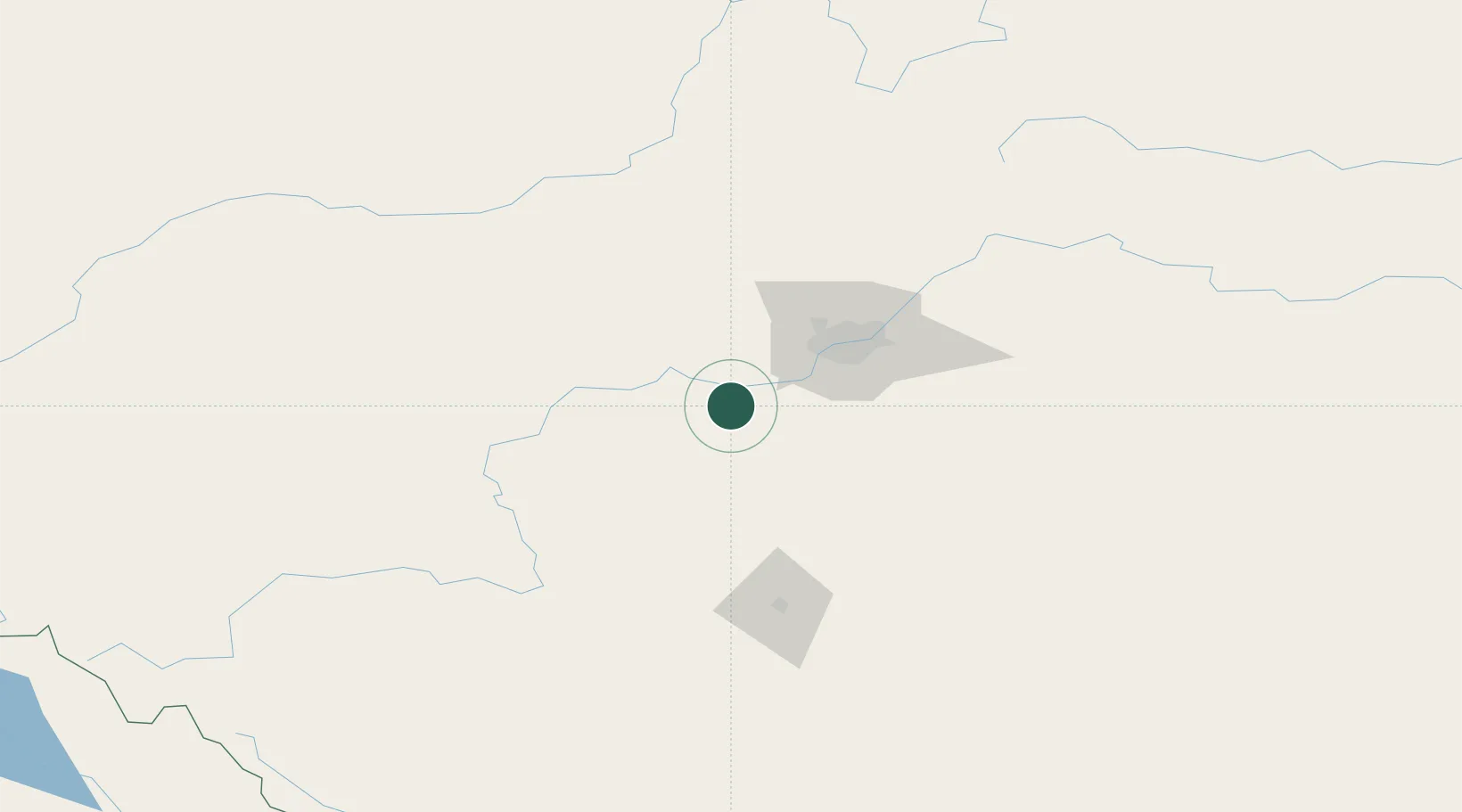
Hub Profile
Place type
Populated place
Region
Alberta
Time zone
America/Edmonton
Elevation
738 m
Location
Nearby Logistics Neighbours
Cities
- 1Sunnybrook10 km
- 2Warburg19 km
- 3Winfield39 km
- 4Duffield39 km
- 5Acheson39 km
Ports
- 1Mission City730 km
- 2Port Coquitlam752 km
- 3Port Moody755 km
- 4Fraser Mills757 km
- 5New Westminster762 km
Airports
- 1Edmonton International Airport32 km
- 2Red Deer Regional Airport117 km
- 3Whitecourt Airport153 km
- 4Edson Airport165 km
- 5Slave Lake Airport234 km
Trade Zones
- 1Port Alberta - Edmonton FTZ65 km
- 2Calgary Region Inland Port243 km
- 3FTZ No. 187 Toole County529 km
- 4FTZ No. 242 Boundary County535 km
- 5PrInce George Logistics Park579 km
DatabookThe Record of Consolidated Knowledge
Canada beyond logistics?