Transport Functions
Port
Multimodal
Hub Profile
Place type
Populated place
Region
Quebec
Population
1,859
Time zone
America/Toronto
Elevation
112 m
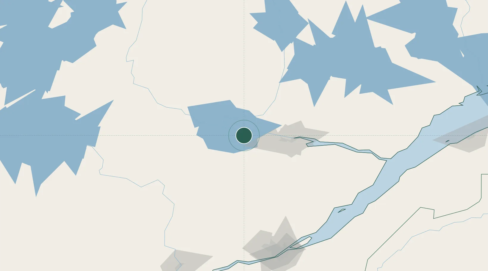
Location
Nearby Logistics Neighbours
Cities
- 1Métabetchouan-Lac-à-la-Croix8 km
- 2Saint-Bruno-Lac-Saint-Jean9 km
- 3Hébertville13 km
- 4Chambord21 km
- 5L'Ascension-de-Notre-Seigneur25 km
Ports
- 1Chicoutimi (Port Saguenay)53 km
- 2La Baie (Port Alfred)69 km
- 3Riviere Du Loup183 km
- 4Quebec190 km
- 5Port De Becancour236 km
Airports
- 1Alma Airport11 km
- 2Roberval Airport36 km
- 3Dolbeau-Saint-Felicien Airport55 km
- 4Saguenay-Bagotville Airport61 km
- 5Charlevoix Airport152 km
Trade Zones
- 1Québec City FTZ188 km
- 2FTZ No. 179 Madawaska289 km
- 3Greater Montreal Free Zone Center357 km
- 4FTZ No. 186 Waterville466 km
- 5FTZ No. 058 Bangor467 km
DatabookThe Record of Consolidated Knowledge
Canada beyond logistics?