Transport Functions
Port
Road
Hub Profile
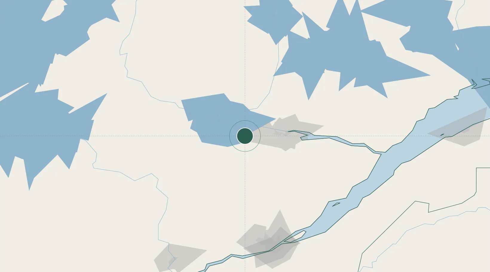
Place type
Populated place
Region
Quebec
Time zone
America/Toronto
Elevation
144 m
Location
Nearby Logistics Neighbours
Cities
- 1Saint-Bruno-Lac-Saint-Jean9 km
- 2Saint-Gédéon13 km
- 3Métabetchouan-Lac-à-la-Croix15 km
- 4Chambord27 km
- 5L'Ascension-de-Notre-Seigneur35 km
Ports
- 1Chicoutimi (Port Saguenay)46 km
- 2La Baie (Port Alfred)59 km
- 3Riviere Du Loup172 km
- 4Quebec178 km
- 5Port De Becancour227 km
Airports
- 1Alma Airport14 km
- 2Roberval Airport46 km
- 3Saguenay-Bagotville Airport51 km
- 4Dolbeau-Saint-Felicien Airport67 km
- 5Charlevoix Airport139 km
Trade Zones
- 1Québec City FTZ176 km
- 2FTZ No. 179 Madawaska278 km
- 3Greater Montreal Free Zone Center350 km
- 4FTZ No. 186 Waterville453 km
- 5FTZ No. 058 Bangor454 km
DatabookThe Record of Consolidated Knowledge
Canada beyond logistics?