UN/LOCODE hub · Canada
CALNS
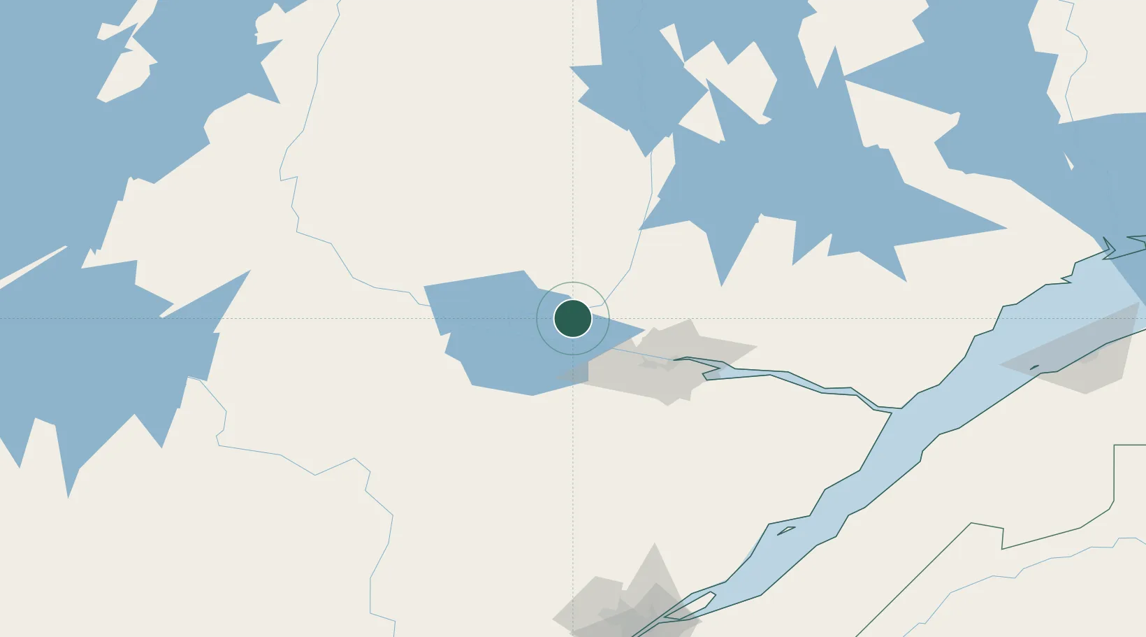
L'Ascension-de-Notre-Seigneur
48.7000°, -71.6833°
1,134
Population
1
Transport functions
Transport Functions
Multimodal
Hub Profile
Place type
Populated place
Region
Quebec
Population
1,134
Time zone
America/Toronto
Elevation
139 m
Location
Nearby Logistics Neighbours
Cities
- 1Saint-Gédéon25 km
- 2Saint-Bruno-Lac-Saint-Jean26 km
- 3Métabetchouan-Lac-à-la-Croix33 km
- 4Hébertville35 km
- 5Chambord42 km
Ports
- 1Chicoutimi (Port Saguenay)54 km
- 2La Baie (Port Alfred)72 km
- 3Riviere Du Loup187 km
- 4Quebec212 km
- 5Rimouski235 km
Airports
- 1Alma Airport22 km
- 2Roberval Airport47 km
- 3Dolbeau-Saint-Felicien Airport52 km
- 4Saguenay-Bagotville Airport66 km
- 5Charlevoix Airport164 km
Trade Zones
- 1Québec City FTZ210 km
- 2FTZ No. 179 Madawaska295 km
- 3Greater Montreal Free Zone Center382 km
- 4FTZ No. 058 Bangor485 km
- 5FTZ No. 186 Waterville486 km
DatabookThe Record of Consolidated Knowledge
Canada beyond logistics?