Transport Functions
Rail
Road
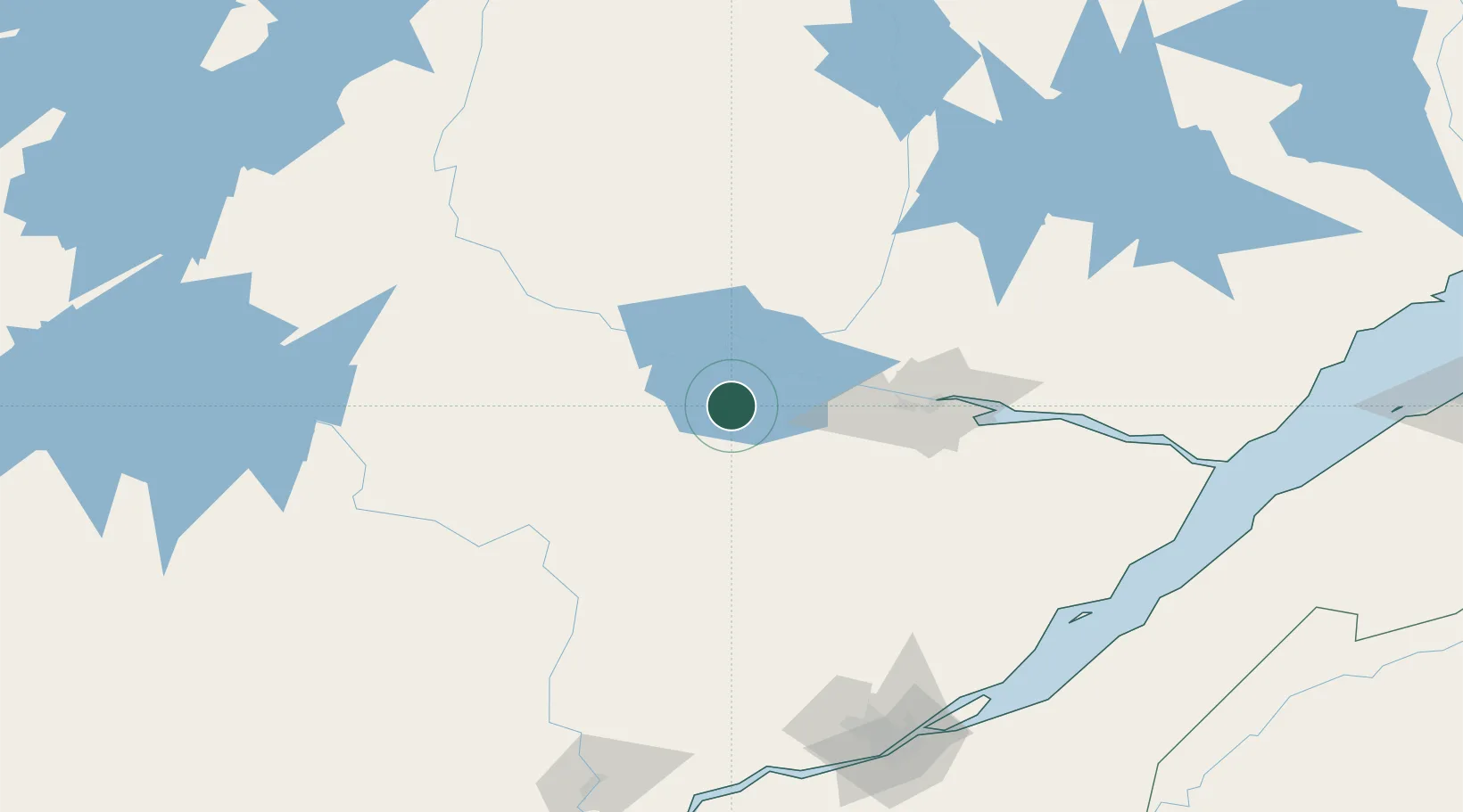
Hub Profile
Place type
Populated place
Region
Quebec
Population
1,773
Time zone
America/Toronto
Elevation
141 m
Location
Nearby Logistics Neighbours
Cities
- 1Métabetchouan-Lac-à-la-Croix14 km
- 2Saint-Gédéon21 km
- 3Hébertville27 km
- 4Saint-Bruno-Lac-Saint-Jean29 km
- 5Saint-Félicien39 km
Ports
- 1Chicoutimi (Port Saguenay)73 km
- 2La Baie (Port Alfred)87 km
- 3Quebec189 km
- 4Riviere Du Loup199 km
- 5Port De Becancour226 km
Airports
- 1Roberval Airport20 km
- 2Alma Airport32 km
- 3Dolbeau-Saint-Felicien Airport47 km
- 4Saguenay-Bagotville Airport79 km
- 5Charlevoix Airport164 km
Trade Zones
- 1Québec City FTZ186 km
- 2FTZ No. 179 Madawaska304 km
- 3Greater Montreal Free Zone Center343 km
- 4FTZ No. 186 Waterville467 km
- 5FTZ No. 058 Bangor471 km
DatabookThe Record of Consolidated Knowledge
Canada beyond logistics?