Medium airport · Canada
Saguenay-Bagotville AirportCYBG
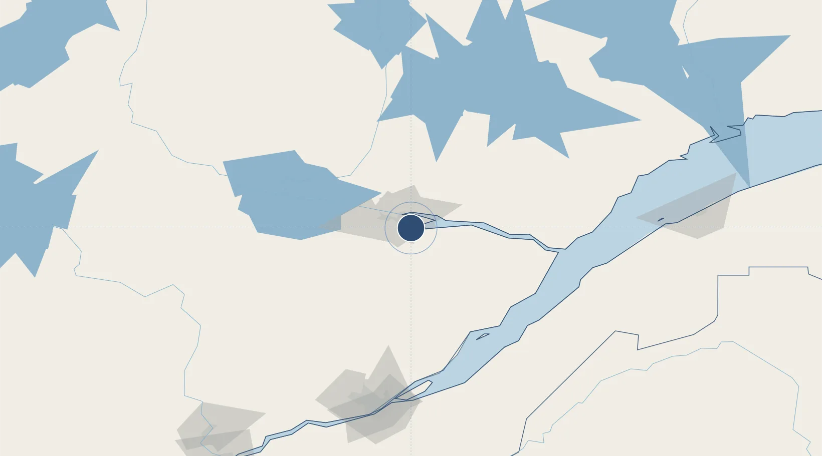
48.3301°, -70.9920°
10,000 ft
Longest runway
2
Runways
522 ft
Elevation
Runway & Layout

Radio Frequencies
ATIS
124.2 MHz
TWR
126.2 MHz
GND
121.7 MHz
CLD
119 MHz
CLNC DEL
A/D
127.2 MHz
TRML
AAS
121.2 MHz
VFR ADVSY
OPS
26.46 MHz
WING OPS
PMSV
34.46 MHz
Navaids
XBG TACAN Bagotville 111.80 MHz
YBG NDB Bagotville 356 kHz
Runways · 2
| Runway | Dimensions | Surface | True heading | Lit |
|---|---|---|---|---|
| 11/29 | 10,000 × 150ft | Concrete | 091° | ✓ |
| 18/36 | 6,000 × 150ft | Asphalt | 163° | ✓ |
Airport Specifications
IATA code
YBG
ICAO code
CYBG
Airport class
Medium airport
Scheduled service
Yes
Runway surface
Concrete
Served city
Saguenay
Location
Nearby Logistics Neighbours
Airports
- 1Alma Airport52 km
- 2Roberval Airport96 km
- 3Charlevoix Airport100 km
- 4Dolbeau-Saint-Felicien Airport113 km
- 5Rivière-du-Loup Airport122 km
Cities
- 1Port-Alfred8 km
- 2Saguenay11 km
- 3Hébertville51 km
- 4Saint-Bruno-Lac-Saint-Jean52 km
- 5Saint-Gédéon61 km
Ports
- 1La Baie (Port Alfred)8 km
- 2Chicoutimi (Port Saguenay)13 km
- 3Riviere Du Loup123 km
- 4Quebec169 km
- 5Rimouski183 km
Trade Zones
- 1Québec City FTZ168 km
- 2FTZ No. 179 Madawaska230 km
- 3Greater Montreal Free Zone Center369 km
- 4FTZ No. 058 Bangor425 km
- 5FTZ No. 186 Waterville433 km
DatabookThe Record of Consolidated Knowledge
Canada beyond logistics?