Medium airport · Canada
Roberval AirportCYRJ
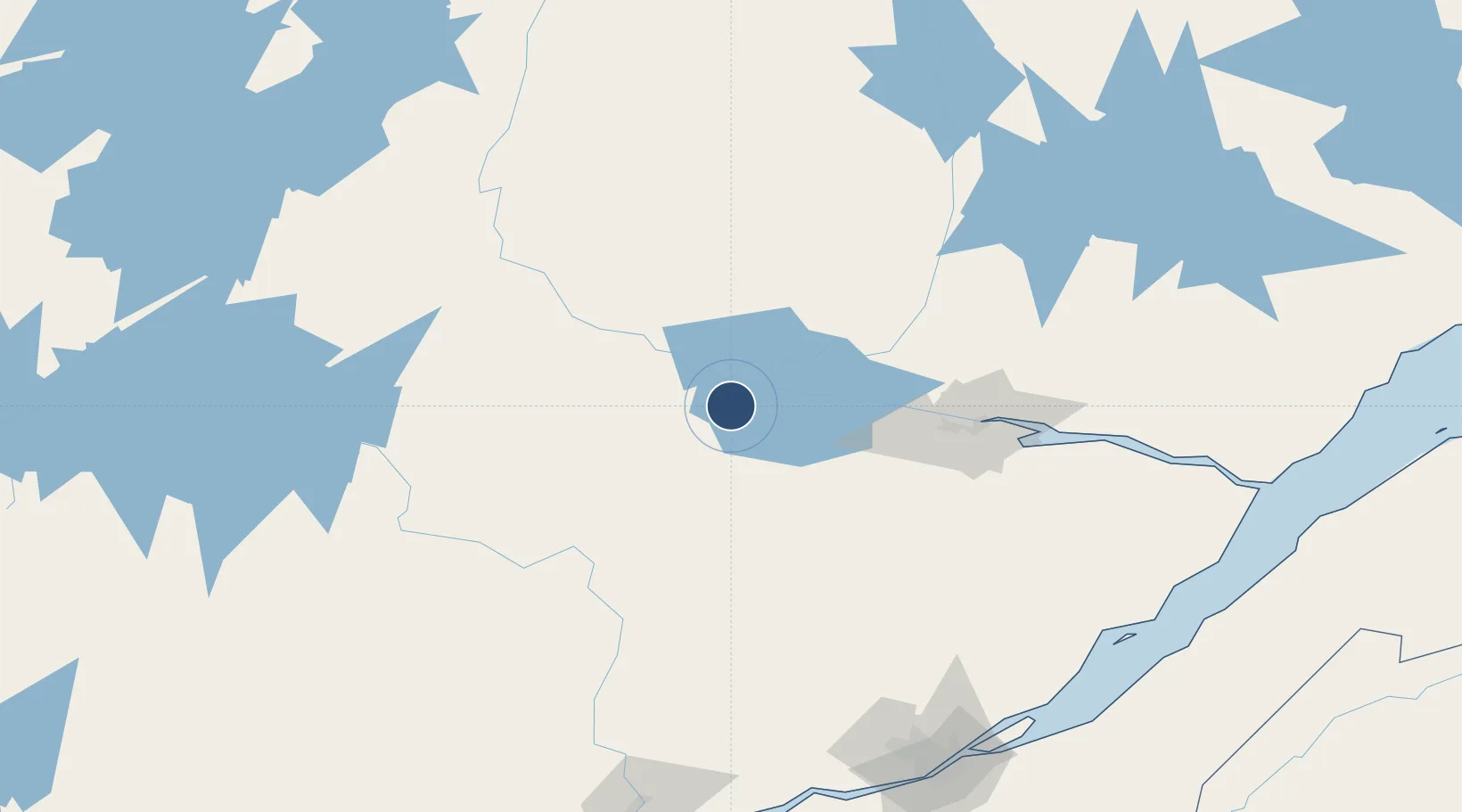
48.5197°, -72.2657°
5,000 ft
Longest runway
1
Runways
586 ft
Elevation
Runway & Layout

Radio Frequencies
A/G
122.2 MHz
MF
RCO
126.7 MHz
QUEBEC RDO
RDO
122.2 MHz
Navaids
IRJ DME Roberval 110.30 MHz
RJ NDB Roberval 378 kHz
Runways · 1
| Runway | Dimensions | Surface | True heading | Lit |
|---|---|---|---|---|
| 16/34 | 5,000 × 150ft | Asphalt | 143° | ✓ |
Airport Specifications
IATA code
YRJ
ICAO code
CYRJ
Airport class
Medium airport
Scheduled service
Yes
Runway surface
Asphalt
Served city
Roberval
Location
Nearby Logistics Neighbours
Airports
- 1Dolbeau-Saint-Felicien Airport30 km
- 2Alma Airport46 km
- 3Saguenay-Bagotville Airport96 km
- 4Charlevoix Airport183 km
- 5Quebec Jean Lesage International Airport203 km
Cities
- 1Chambord20 km
- 2Saint-Félicien20 km
- 3Métabetchouan-Lac-à-la-Croix31 km
- 4Saint-Gédéon36 km
- 5Mistassini41 km
Ports
- 1Chicoutimi (Port Saguenay)89 km
- 2La Baie (Port Alfred)104 km
- 3Quebec205 km
- 4Riviere Du Loup218 km
- 5Port De Becancour236 km
Trade Zones
- 1Québec City FTZ203 km
- 2FTZ No. 179 Madawaska323 km
- 3Greater Montreal Free Zone Center349 km
- 4FTZ No. 186 Waterville484 km
- 5FTZ No. 058 Bangor489 km
DatabookThe Record of Consolidated Knowledge
Canada beyond logistics?