Transport Functions
Port
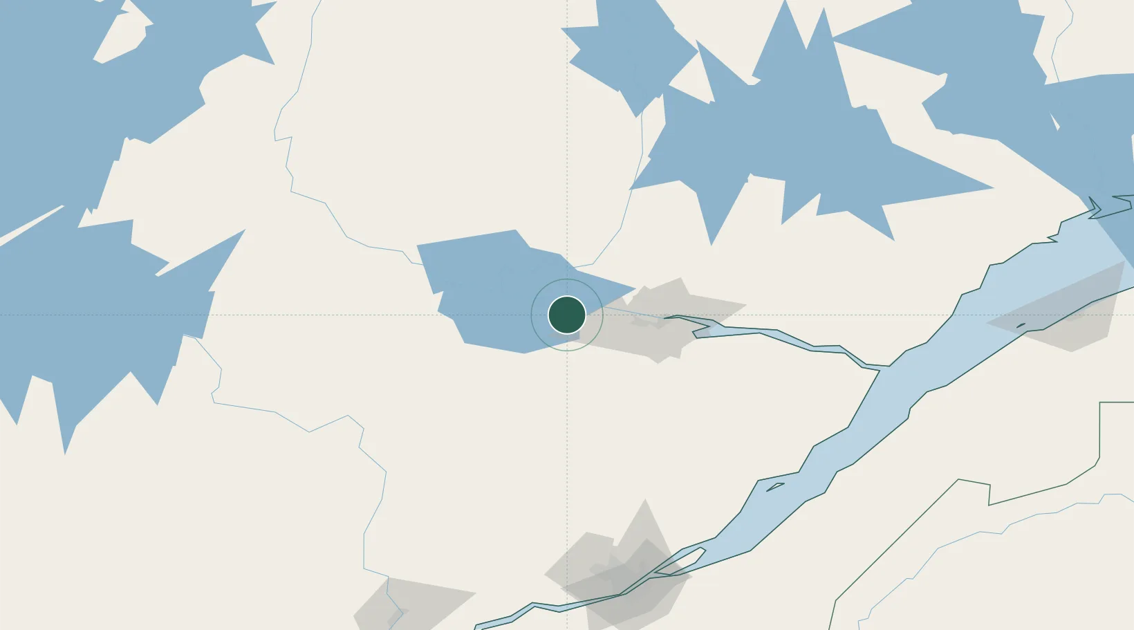
Location
Nearby Logistics Neighbours
Cities
- 1Saint-Gédéon9 km
- 2Hébertville9 km
- 3Métabetchouan-Lac-à-la-Croix15 km
- 4L'Ascension-de-Notre-Seigneur26 km
- 5Chambord29 km
Ports
- 1Chicoutimi (Port Saguenay)44 km
- 2La Baie (Port Alfred)60 km
- 3Riviere Du Loup174 km
- 4Quebec187 km
- 5Rimouski232 km
Airports
- 1Alma Airport5 km
- 2Roberval Airport45 km
- 3Saguenay-Bagotville Airport52 km
- 4Dolbeau-Saint-Felicien Airport63 km
- 5Charlevoix Airport144 km
Trade Zones
- 1Québec City FTZ185 km
- 2FTZ No. 179 Madawaska281 km
- 3Greater Montreal Free Zone Center359 km
- 4FTZ No. 058 Bangor461 km
- 5FTZ No. 186 Waterville461 km
DatabookThe Record of Consolidated Knowledge
Canada beyond logistics?