UN/LOCODE hub · Canada
CAMBN
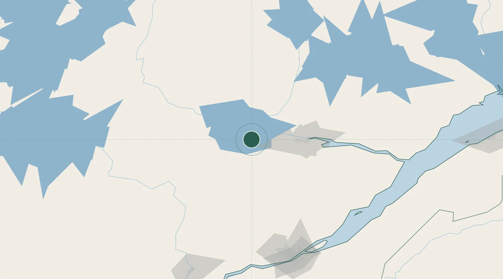
Métabetchouan-Lac-à-la-Croix
48.4333°, -71.8667°
4,084
Population
2
Transport functions
Transport Functions
Rail
Road
Hub Profile
Place type
Populated place
Region
Quebec
Population
4,084
Time zone
America/Toronto
Elevation
160 m
Location
Nearby Logistics Neighbours
Cities
- 1Saint-Gédéon8 km
- 2Chambord14 km
- 3Hébertville15 km
- 4Saint-Bruno-Lac-Saint-Jean15 km
- 5L'Ascension-de-Notre-Seigneur33 km
Ports
- 1Chicoutimi (Port Saguenay)59 km
- 2La Baie (Port Alfred)74 km
- 3Quebec186 km
- 4Riviere Du Loup187 km
- 5Port De Becancour229 km
Airports
- 1Alma Airport19 km
- 2Roberval Airport31 km
- 3Dolbeau-Saint-Felicien Airport54 km
- 4Saguenay-Bagotville Airport66 km
- 5Charlevoix Airport154 km
Trade Zones
- 1Québec City FTZ184 km
- 2FTZ No. 179 Madawaska293 km
- 3Greater Montreal Free Zone Center350 km
- 4FTZ No. 186 Waterville463 km
- 5FTZ No. 058 Bangor466 km
DatabookThe Record of Consolidated Knowledge
Canada beyond logistics?