Medium airport · Canada
Dolbeau-Saint-Felicien AirportCYDO
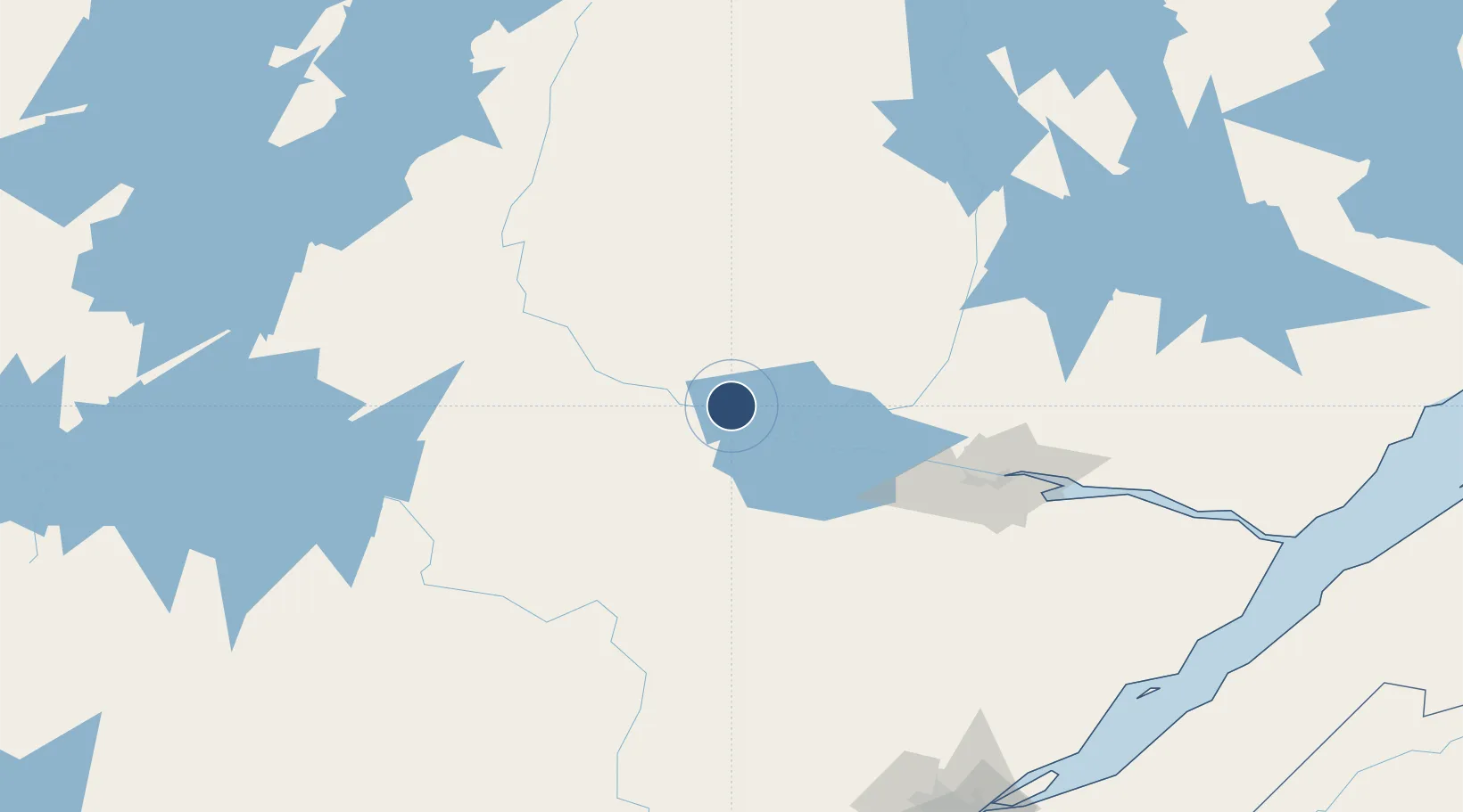
48.7785°, -72.3750°
4,971 ft
Longest runway
1
Runways
372 ft
Elevation
Runway & Layout

Radio Frequencies
A/D
126.7 MHz
ROBERVAL RDO
UNIC
122.7 MHz
ATF/UNICOM
Navaids
D8 NDB Dolbeau 386 kHz
Runways · 1
| Runway | Dimensions | Surface | True heading | Lit |
|---|---|---|---|---|
| 11/29 | 4,971 × 100ft | Asphalt | 094° | ✓ |
Airport Specifications
IATA code
YDO
ICAO code
CYDO
Airport class
Medium airport
Scheduled service
No
Runway surface
Asphalt
Served city
Dolbeau-Saint-Felicien
Location
Nearby Logistics Neighbours
Airports
- 1Roberval Airport30 km
- 2Alma Airport62 km
- 3Saguenay-Bagotville Airport113 km
- 4Chapais Airport191 km
- 5Charlevoix Airport207 km
Cities
- 1Saint-Félicien15 km
- 2Mistassini17 km
- 3Chambord47 km
- 4L'Ascension-de-Notre-Seigneur52 km
- 5Métabetchouan-Lac-à-la-Croix54 km
Ports
- 1Chicoutimi (Port Saguenay)104 km
- 2La Baie (Port Alfred)120 km
- 3Quebec235 km
- 4Riviere Du Loup236 km
- 5Port De Becancour265 km
Trade Zones
- 1Québec City FTZ232 km
- 2FTZ No. 179 Madawaska343 km
- 3Greater Montreal Free Zone Center375 km
- 4FTZ No. 118 Ogdensburg511 km
- 5FTZ No. 186 Waterville513 km
DatabookThe Record of Consolidated Knowledge
Canada beyond logistics?