Transport Functions
Port
Road
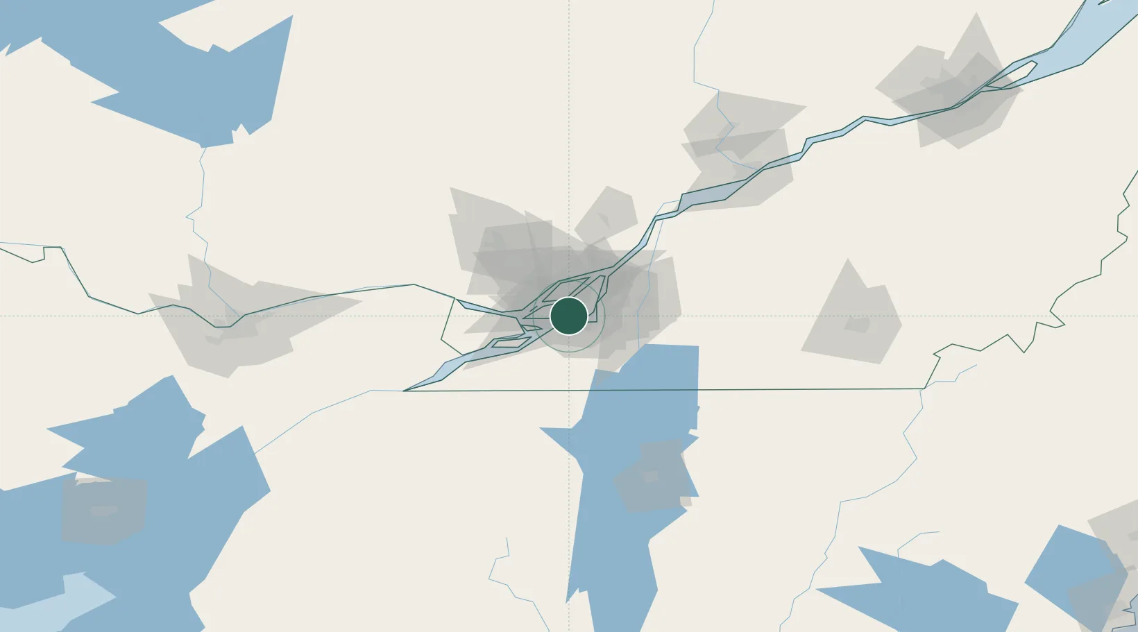
Hub Profile
Region
QC
Logistics facilities
3
Location
Nearby Logistics Neighbours
Cities
- 1Côte-Saint-Luc2 km
- 2Saint-Pierre5 km
- 3Saint-Laurent6 km
- 4Kahnawake7 km
- 5Montreal7 km
Ports
- 1Montreal13 km
- 2Beauharnois22 km
- 3Vaudreuil28 km
- 4Oka Sur Le Lac31 km
- 5Hudson35 km
Airports
Trade Zones
- 1Greater Montreal Free Zone Center11 km
- 2FTZ No. 118 Ogdensburg165 km
- 3FTZ No. 109 Watertown239 km
- 4Québec City FTZ242 km
- 5FTZ No. 268 Brattleboro302 km
DatabookThe Record of Consolidated Knowledge
Canada beyond logistics?