Transport Functions
Rail
Road
Hub Profile
Place type
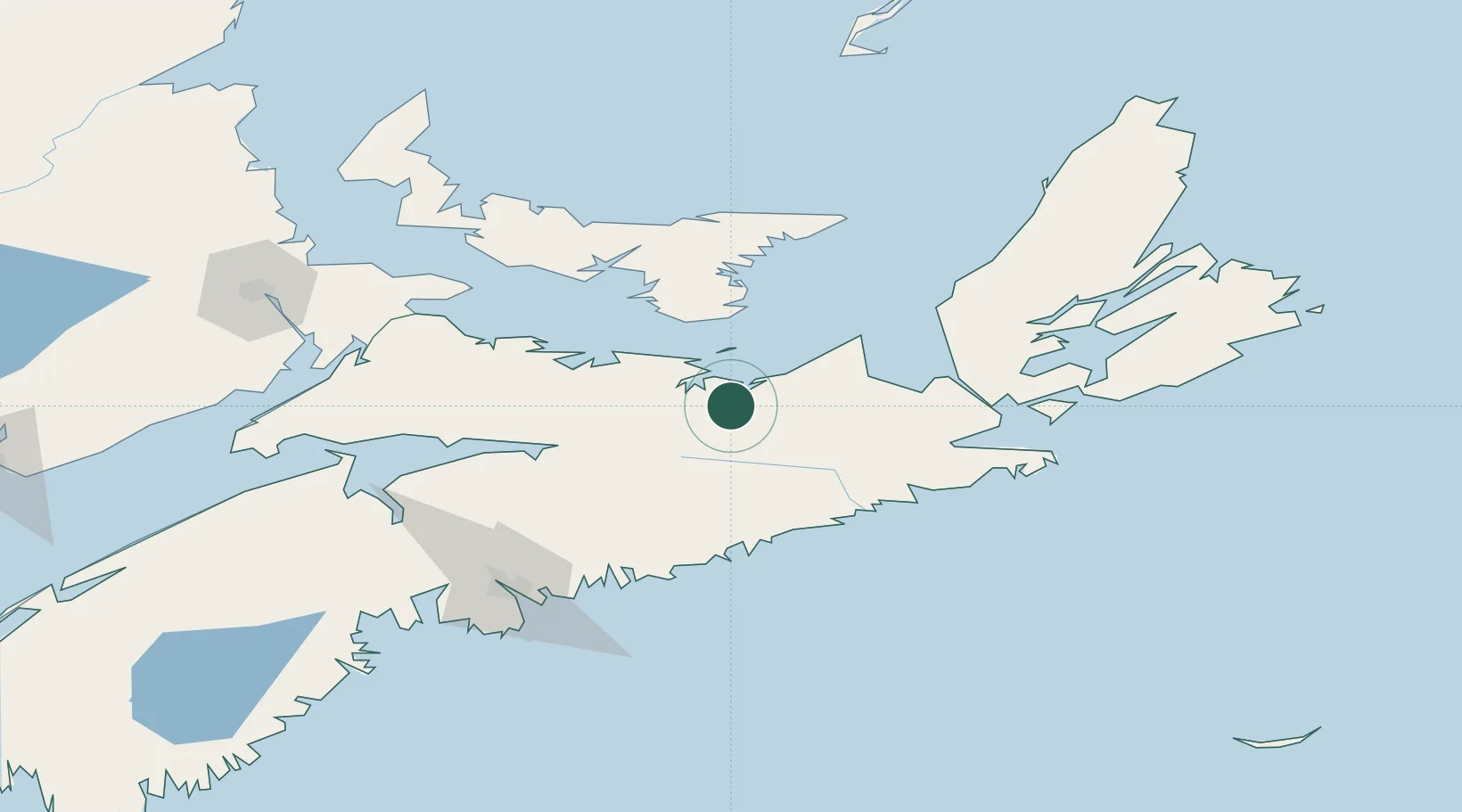
Populated place
Region
Nova Scotia
Time zone
America/Halifax
Elevation
86 m
Location
Nearby Logistics Neighbours
Cities
- 1Stellarton9 km
- 2Merigomish12 km
- 3Beach Point52 km
- 4Brookfield67 km
- 5Sheet Harbour69 km
Ports
- 1Pictou19 km
- 2Georgetown70 km
- 3Stormont74 km
- 4Goldsboro80 km
- 5Port Hastings89 km
Airports
- 1Fox Harbour Airport80 km
- 2Port Hawkesbury Airport91 km
- 3Charlottetown Airport94 km
- 4Halifax / Stanfield International Airport107 km
- 5Summerside Airport141 km
Trade Zones
- 1Halifax Gateway130 km
- 2Cape Breton Regional Municipality Foreign Trade Zone154 km
- 3Saint John278 km
- 4FTZ No. 179 Madawaska485 km
- 5FTZ No. 058 Bangor499 km
DatabookThe Record of Consolidated Knowledge
Canada beyond logistics?