Transport Functions
Rail
Road
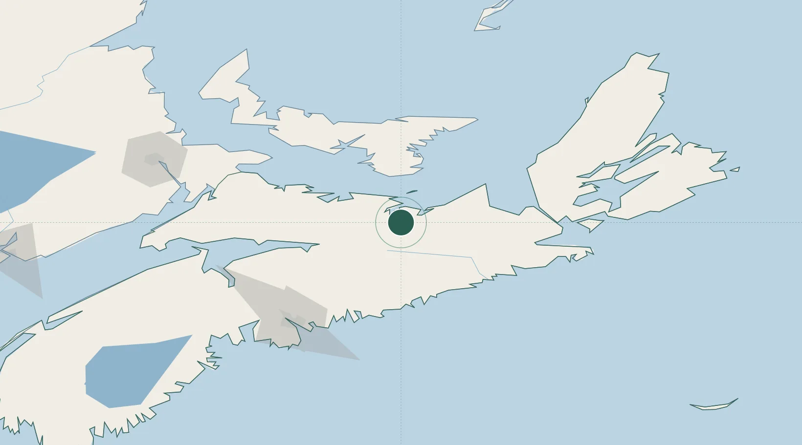
Hub Profile
Place type
Populated place
Region
Nova Scotia
Population
4,007
Time zone
America/Halifax
Elevation
32 m
Location
Nearby Logistics Neighbours
Cities
- 1Thorburn9 km
- 2Merigomish20 km
- 3Beach Point54 km
- 4Brookfield60 km
- 5Debert Station63 km
Ports
- 1Pictou14 km
- 2Georgetown71 km
- 3Stormont82 km
- 4Charlottetown85 km
- 5Goldsboro88 km
Airports
- 1Fox Harbour Airport72 km
- 2Charlottetown Airport90 km
- 3Halifax / Stanfield International Airport100 km
- 4Port Hawkesbury Airport100 km
- 5Summerside Airport135 km
Trade Zones
- 1Halifax Gateway124 km
- 2Cape Breton Regional Municipality Foreign Trade Zone162 km
- 3Saint John269 km
- 4FTZ No. 179 Madawaska477 km
- 5FTZ No. 058 Bangor490 km
DatabookThe Record of Consolidated Knowledge
Canada beyond logistics?