Transport Functions
Port
Road
Hub Profile
Place type
Locality
Region
Prince Edward Island
Time zone
America/Halifax
Elevation
1 m
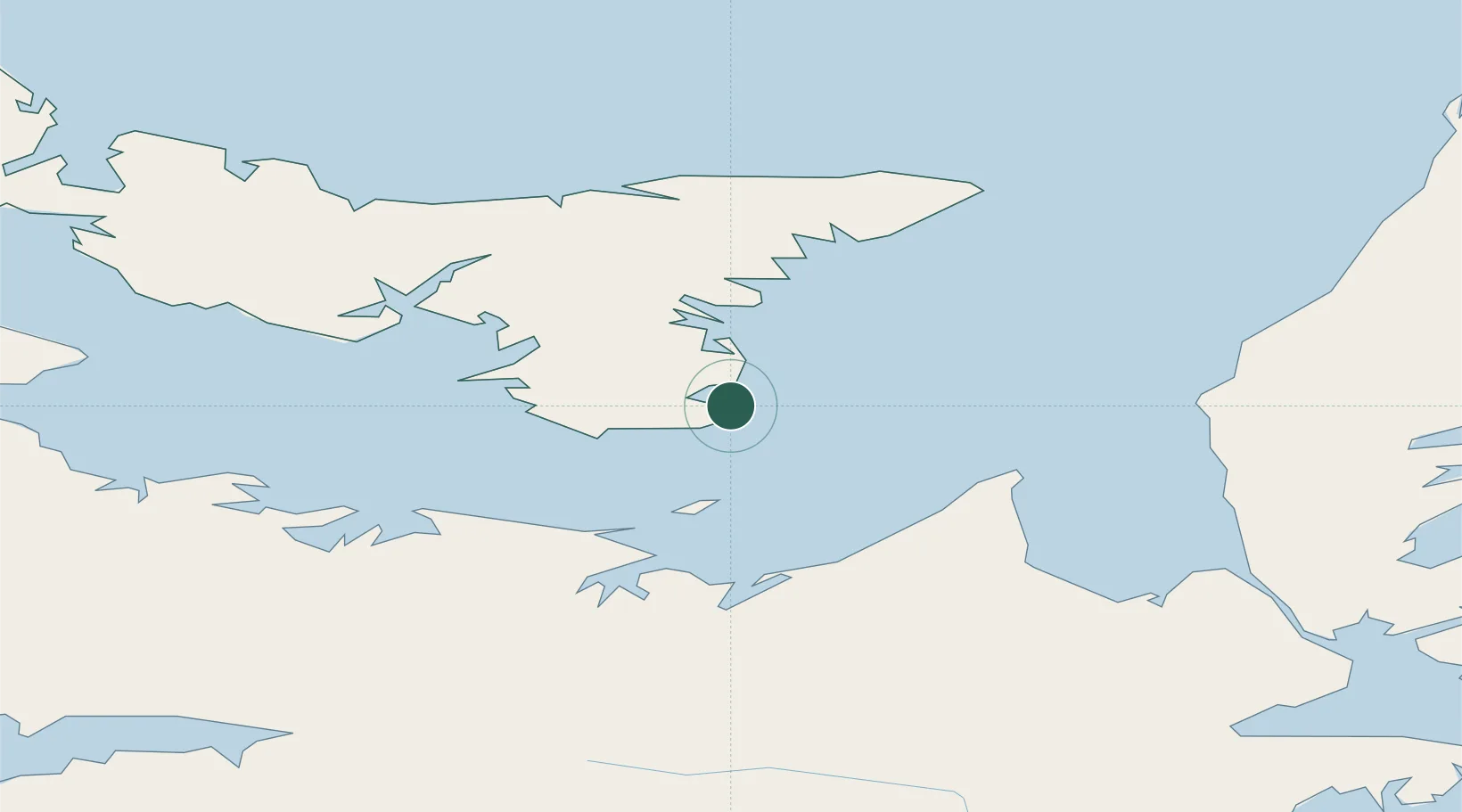
Location
Nearby Logistics Neighbours
Cities
- 1Vernon Bridge36 km
- 2Merigomish45 km
- 3Morell46 km
- 4Thorburn52 km
- 5Stellarton54 km
Ports
- 1Georgetown19 km
- 2Pictou43 km
- 3Charlottetown56 km
- 4Port Hastings93 km
- 5Port Hawkesbury97 km
Airports
- 1Charlottetown Airport58 km
- 2Fox Harbour Airport77 km
- 3Port Hawkesbury Airport95 km
- 4Summerside Airport114 km
- 5Halifax / Stanfield International Airport150 km
Trade Zones
- 1Cape Breton Regional Municipality Foreign Trade Zone135 km
- 2Halifax Gateway175 km
- 3Saint John291 km
- 4FTZ No. 179 Madawaska469 km
- 5FTZ No. 058 Bangor512 km
DatabookThe Record of Consolidated Knowledge
Canada beyond logistics?