Transport Functions
Port
Road
Hub Profile
Place type
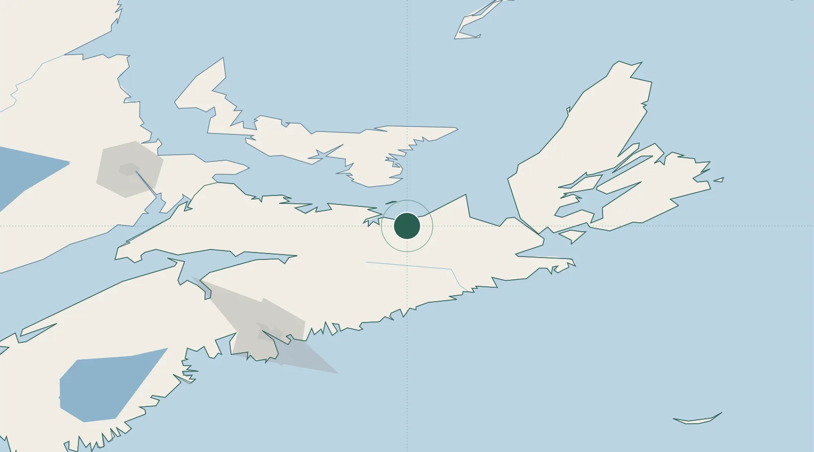
Populated place
Region
Nova Scotia
Time zone
America/Halifax
Elevation
4 m
Location
Nearby Logistics Neighbours
Cities
- 1Thorburn12 km
- 2Stellarton20 km
- 3Beach Point45 km
- 4Stormont69 km
- 5Vernon Bridge73 km
Ports
- 1Pictou24 km
- 2Georgetown64 km
- 3Stormont71 km
- 4Goldsboro77 km
- 5Port Hastings79 km
Airports
- 1Port Hawkesbury Airport82 km
- 2Fox Harbour Airport86 km
- 3Charlottetown Airport93 km
- 4Halifax / Stanfield International Airport118 km
- 5Summerside Airport143 km
Trade Zones
- 1Halifax Gateway141 km
- 2Cape Breton Regional Municipality Foreign Trade Zone143 km
- 3Saint John287 km
- 4FTZ No. 179 Madawaska490 km
- 5FTZ No. 058 Bangor509 km
DatabookThe Record of Consolidated Knowledge
Canada beyond logistics?