Transport Functions
Port
Road
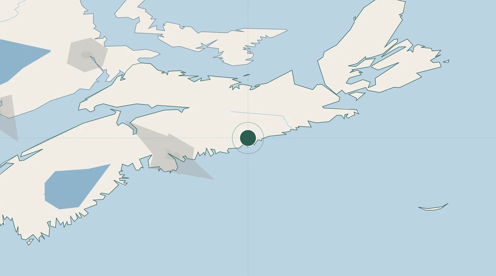
Hub Profile
Place type
Populated place
Region
Nova Scotia
Population
800
Time zone
America/Halifax
Elevation
21 m
Location
Nearby Logistics Neighbours
Cities
- 1Musquodoboit Harbour50 km
- 2Stewiacke67 km
- 3Thorburn69 km
- 4Brookfield69 km
- 5Stellarton69 km
Ports
- 1Musquodoboit Harbour51 km
- 2Stormont71 km
- 3Goldsboro75 km
- 4Pictou83 km
- 5Halifax89 km
Airports
- 1Halifax / Stanfield International Airport77 km
- 2Port Hawkesbury Airport122 km
- 3Fox Harbour Airport127 km
- 4Charlottetown Airport158 km
- 5CFB Greenwood188 km
Trade Zones
- 1Halifax Gateway89 km
- 2Cape Breton Regional Municipality Foreign Trade Zone195 km
- 3Saint John280 km
- 4FTZ No. 058 Bangor495 km
- 5FTZ No. 179 Madawaska518 km
DatabookThe Record of Consolidated Knowledge
Canada beyond logistics?