Transport Functions
Rail
Road
Hub Profile
Place type
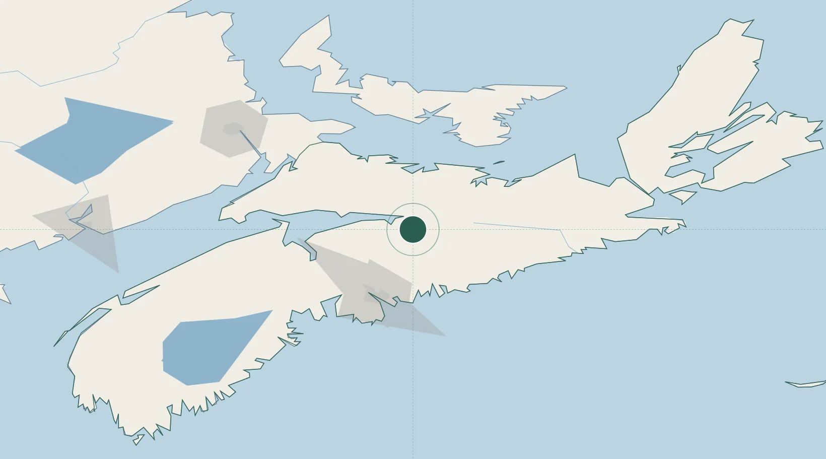
Populated place
Region
Nova Scotia
Population
439
Time zone
America/Halifax
Elevation
29 m
Location
Nearby Logistics Neighbours
Cities
- 1Stewiacke14 km
- 2Shubenacadie21 km
- 3Debert Station22 km
- 4Densmore Mills33 km
- 5Musquodoboit Harbour53 km
Ports
- 1Musquodoboit Harbour53 km
- 2Pictou64 km
- 3Halifax71 km
- 4Windsor74 km
- 5Charlottetown110 km
Airports
- 1Halifax / Stanfield International Airport45 km
- 2Fox Harbour Airport70 km
- 3Charlottetown Airport116 km
- 4CFB Greenwood132 km
- 5Summerside Airport139 km
Trade Zones
- 1Halifax Gateway71 km
- 2Saint John218 km
- 3Cape Breton Regional Municipality Foreign Trade Zone222 km
- 4FTZ No. 058 Bangor438 km
- 5FTZ No. 179 Madawaska449 km
DatabookThe Record of Consolidated Knowledge
Canada beyond logistics?