Transport Functions
Rail
Road
Multimodal
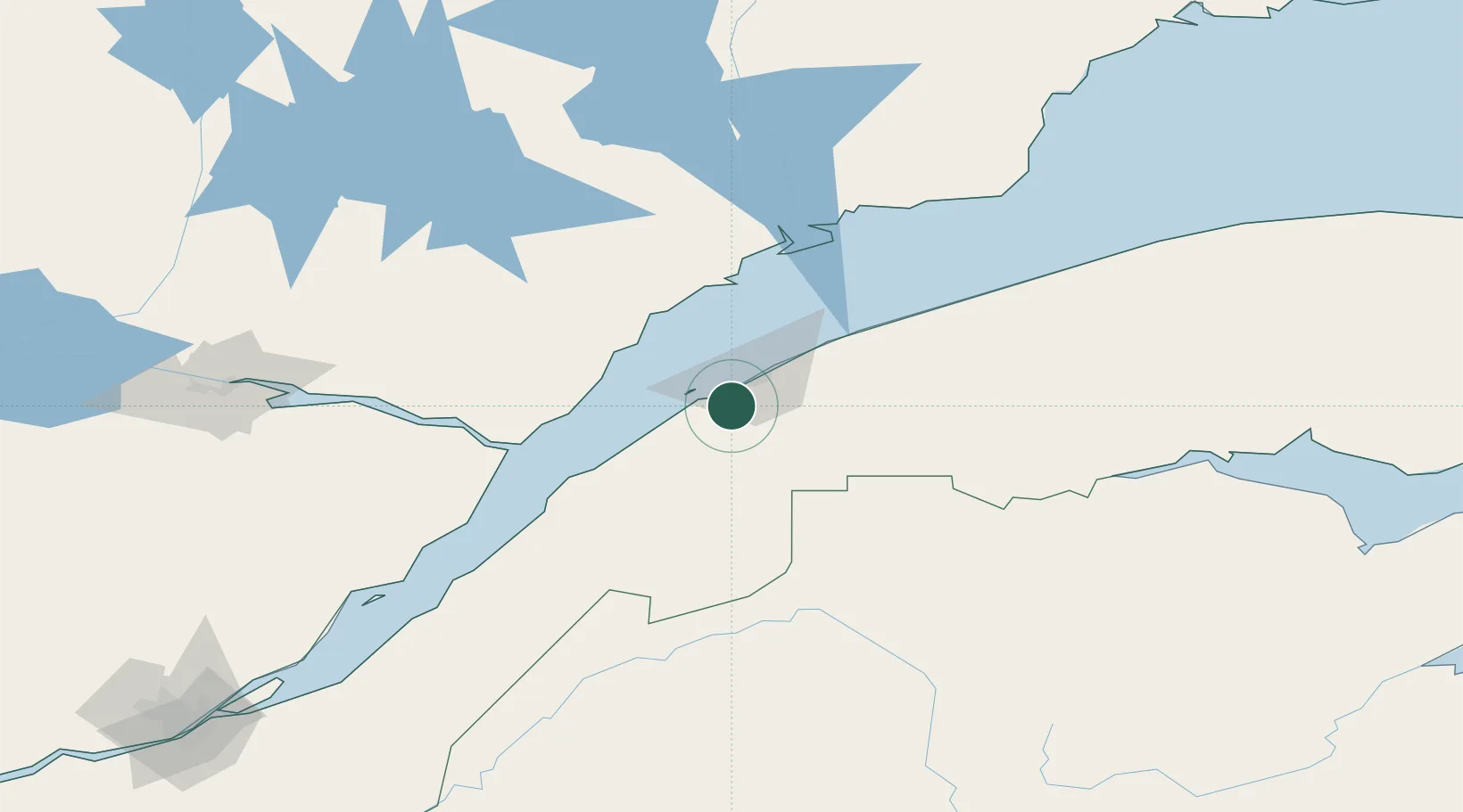
Hub Profile
Region
QC
Location
Nearby Logistics Neighbours
Cities
- 1Trois-Pistoles48 km
- 2Les Escoumins56 km
- 3Rivière-du-Loup85 km
- 4Pohénégamook105 km
- 5Saint-Pascal123 km
Ports
- 1Rimouski17 km
- 2Riviere Du Loup84 km
- 3Matane101 km
- 4Baie Comeau107 km
- 5La Baie (Port Alfred)164 km
Airports
- 1Rimouski Airport20 km
- 2Mont Joli Airport46 km
- 3Forestville Airport56 km
- 4Rivière-du-Loup Airport93 km
- 5Baie-Comeau Airport95 km
Trade Zones
- 1FTZ No. 179 Madawaska120 km
- 2Québec City FTZ256 km
- 3FTZ No. 058 Bangor392 km
- 4Saint John394 km
- 5FTZ No. 186 Waterville429 km
DatabookThe Record of Consolidated Knowledge
Canada beyond logistics?