Transport Functions
Port
Rail
Road
Hub Profile
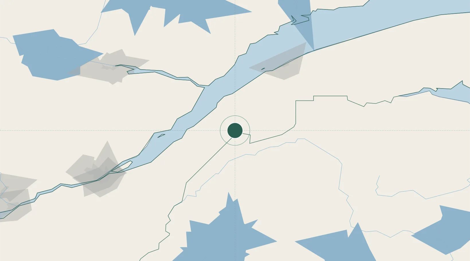
Place type
Populated place
Region
Quebec
Population
2,770
Time zone
America/Toronto
Elevation
231 m
Location
Nearby Logistics Neighbours
Cities
- 1Saint-Pascal39 km
- 2Rivière-du-Loup41 km
- 3Trois-Pistoles67 km
- 4Saint-Aimé-des-Lacs79 km
- 5L'Islet91 km
Ports
- 1Riviere Du Loup43 km
- 2Rimouski122 km
- 3La Baie (Port Alfred)152 km
- 4Quebec164 km
- 5Chicoutimi (Port Saguenay)170 km
Airports
- 1Rivière-du-Loup Airport39 km
- 2Charlevoix Airport72 km
- 3Saint-Léonard Airport115 km
- 4Caribou Municipal Airport117 km
- 5Rimouski Airport125 km
Trade Zones
- 1FTZ No. 179 Madawaska75 km
- 2Québec City FTZ166 km
- 3FTZ No. 058 Bangor300 km
- 4FTZ No. 186 Waterville329 km
- 5Saint John348 km
DatabookThe Record of Consolidated Knowledge
Canada beyond logistics?