Transport Functions
Rail
Road
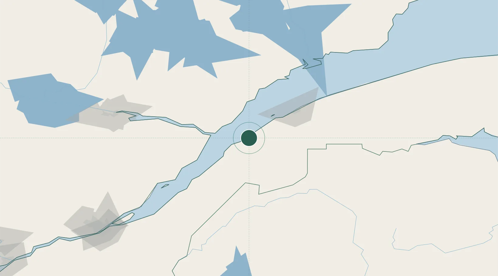
Hub Profile
Place type
Populated place
Region
Quebec
Population
3,115
Time zone
America/Toronto
Elevation
52 m
Location
Nearby Logistics Neighbours
Cities
- 1Les Escoumins34 km
- 2Rivière-du-Loup38 km
- 3Saint-Valérien48 km
- 4Pohénégamook67 km
- 5Saint-Pascal76 km
Ports
- 1Riviere Du Loup37 km
- 2Rimouski65 km
- 3La Baie (Port Alfred)128 km
- 4Chicoutimi (Port Saguenay)144 km
- 5Matane150 km
Airports
- 1Rivière-du-Loup Airport46 km
- 2Rimouski Airport68 km
- 3Forestville Airport74 km
- 4Charlevoix Airport94 km
- 5Mont Joli Airport94 km
Trade Zones
- 1FTZ No. 179 Madawaska110 km
- 2Québec City FTZ208 km
- 3FTZ No. 058 Bangor365 km
- 4Saint John393 km
- 5FTZ No. 186 Waterville396 km
DatabookThe Record of Consolidated Knowledge
Canada beyond logistics?