UN/LOCODE hub · Canada
CARDL
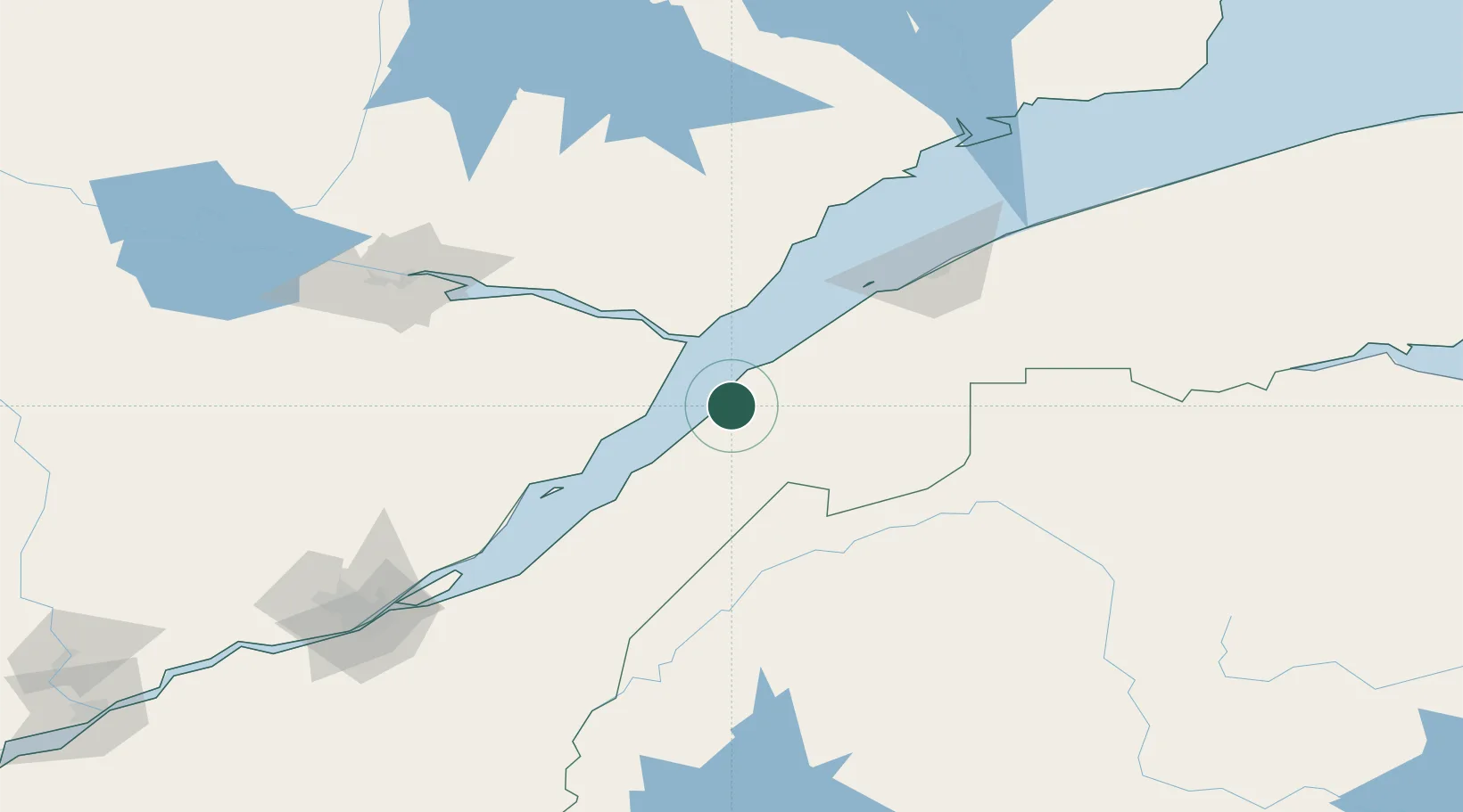
Rivière-du-Loup
47.8188°, -69.5206°
18,586
Population
4
Transport functions
Transport Functions
Port
Rail
Road
Airport
Hub Profile
Place type
Populated place
Region
Quebec
Population
18,586
Time zone
America/Toronto
Elevation
56 m
Logistics facilities
1
Location
Nearby Logistics Neighbours
Cities
- 1Trois-Pistoles38 km
- 2Saint-Pascal38 km
- 3Pohénégamook41 km
- 4Les Escoumins60 km
- 5Saint-Aimé-des-Lacs60 km
Ports
- 1Rimouski102 km
- 2La Baie (Port Alfred)116 km
- 3Chicoutimi (Port Saguenay)134 km
- 4Quebec170 km
- 5Matane186 km
Airports
- 1Rivière-du-Loup Airport8 km
- 2Charlevoix Airport58 km
- 3Rimouski Airport106 km
- 4Forestville Airport108 km
- 5Saguenay-Bagotville Airport123 km
Trade Zones
- 1FTZ No. 179 Madawaska107 km
- 2Québec City FTZ171 km
- 3FTZ No. 058 Bangor339 km
- 4FTZ No. 186 Waterville365 km
- 5Saint John387 km
DatabookThe Record of Consolidated Knowledge
Canada beyond logistics?