Transport Functions
Port
Rail
Road
Hub Profile
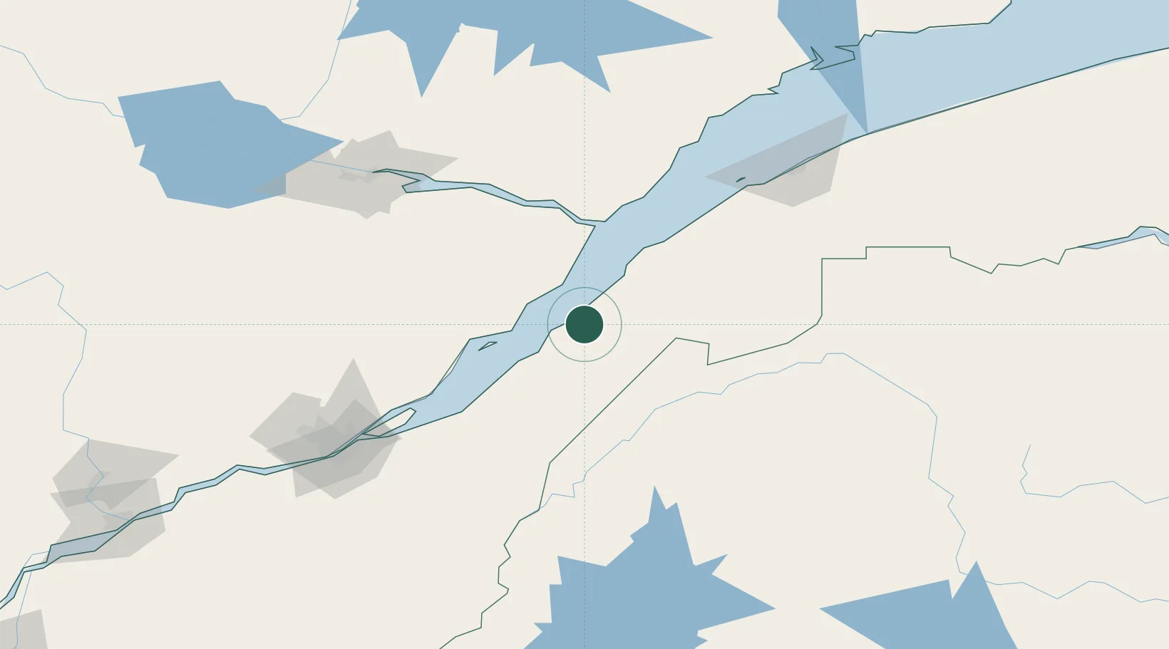
Place type
Populated place
Region
Quebec
Population
3,490
Time zone
America/Toronto
Elevation
54 m
Location
Nearby Logistics Neighbours
Cities
- 1Rivière-du-Loup38 km
- 2Pohénégamook39 km
- 3Saint-Aimé-des-Lacs41 km
- 4L'Islet64 km
- 5Cap-St-Ignace74 km
Ports
- 1Riviere Du Loup40 km
- 2La Baie (Port Alfred)120 km
- 3Quebec134 km
- 4Chicoutimi (Port Saguenay)138 km
- 5Rimouski140 km
Airports
- 1Rivière-du-Loup Airport30 km
- 2Charlevoix Airport33 km
- 3Saguenay-Bagotville Airport125 km
- 4Rimouski Airport143 km
- 5Forestville Airport145 km
Trade Zones
- 1FTZ No. 179 Madawaska113 km
- 2Québec City FTZ135 km
- 3FTZ No. 058 Bangor312 km
- 4FTZ No. 186 Waterville333 km
- 5Greater Montreal Free Zone Center365 km
DatabookThe Record of Consolidated Knowledge
Canada beyond logistics?