Transport Functions
Port
Road
Hub Profile
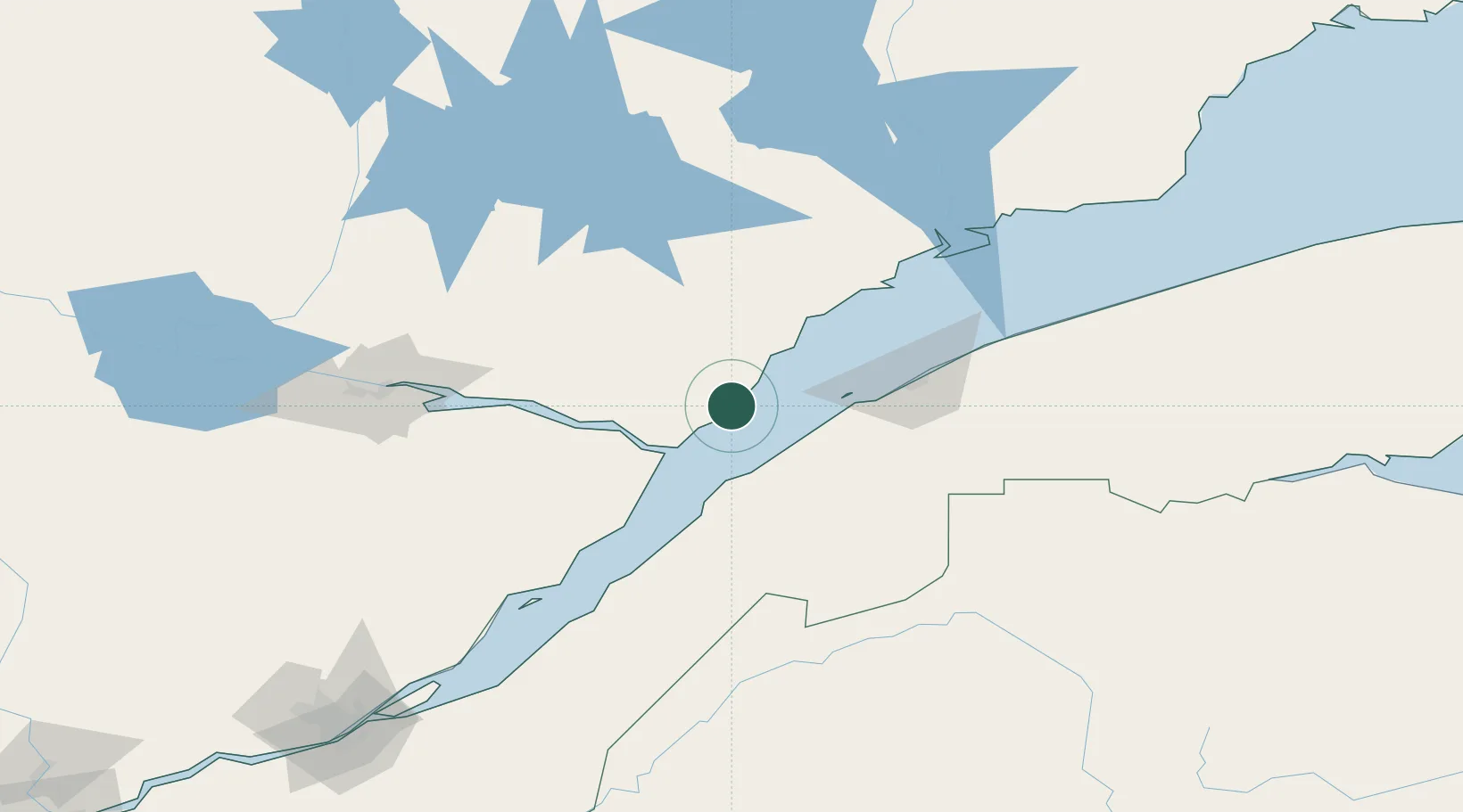
Place type
Populated place
Region
Quebec
Population
1,339
Time zone
America/Toronto
Elevation
11 m
Location
Nearby Logistics Neighbours
Cities
- 1Trois-Pistoles34 km
- 2Saint-Valérien56 km
- 3Rivière-du-Loup60 km
- 4Saint-Pascal95 km
- 5Pohénégamook97 km
Ports
- 1Riviere Du Loup58 km
- 2Rimouski67 km
- 3La Baie (Port Alfred)108 km
- 4Chicoutimi (Port Saguenay)122 km
- 5Baie Comeau136 km
Airports
- 1Forestville Airport50 km
- 2Rivière-du-Loup Airport66 km
- 3Rimouski Airport69 km
- 4Mont Joli Airport94 km
- 5Charlevoix Airport103 km
Trade Zones
- 1FTZ No. 179 Madawaska144 km
- 2Québec City FTZ218 km
- 3FTZ No. 058 Bangor397 km
- 4FTZ No. 186 Waterville424 km
- 5Saint John427 km
DatabookThe Record of Consolidated Knowledge
Canada beyond logistics?