Transport Functions
Rail
Road
Hub Profile
Place type
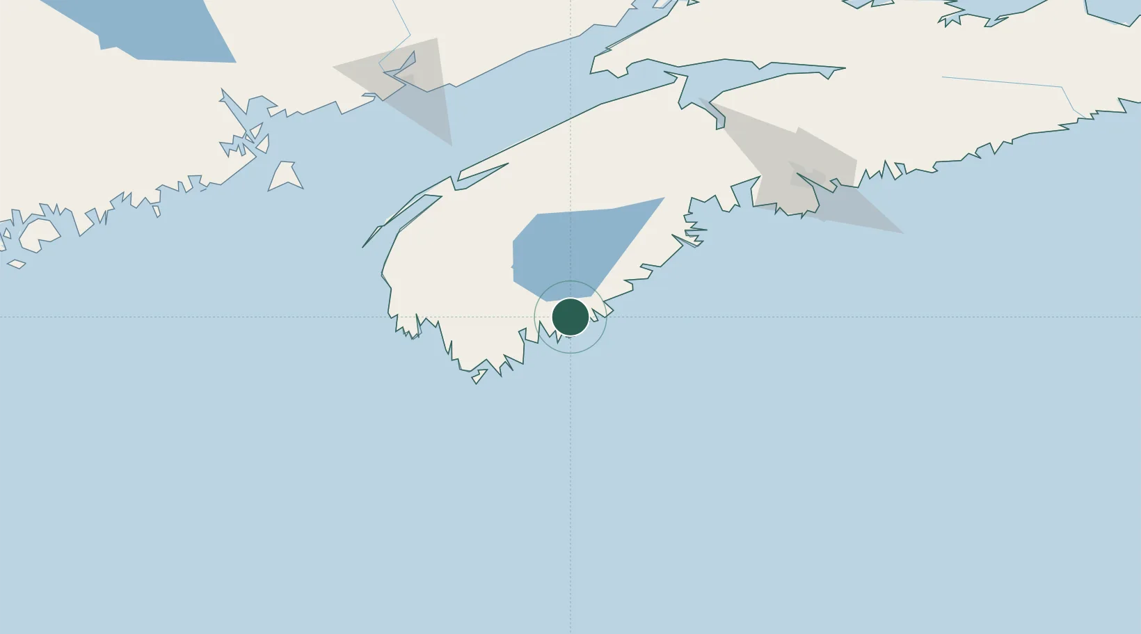
Populated place
Region
Nova Scotia
Time zone
America/Halifax
Elevation
8 m
Location
Nearby Logistics Neighbours
Cities
- 1Lockeport16 km
- 2Port Mouton20 km
- 3Barrington51 km
- 4Hibernia56 km
- 5Stoney Island58 km
Ports
- 1Liverpool (Brooklyn)39 km
- 2Digby104 km
- 3Halifax148 km
- 4Windsor148 km
- 5Canaport (St. John)169 km
Airports
- 1Yarmouth Airport83 km
- 2Digby / Annapolis Regional Airport99 km
- 3CFB Greenwood128 km
- 4Halifax / Stanfield International Airport169 km
- 5Saint John Airport178 km
Trade Zones
- 1Halifax Gateway148 km
- 2Saint John179 km
- 3FTZ No. 058 Bangor319 km
- 4FTZ No. 186 Waterville379 km
- 5FTZ No. 263 Auburn414 km
DatabookThe Record of Consolidated Knowledge
Canada beyond logistics?