Transport Functions
Port
Road
Hub Profile
Place type
Populated place
Region
Nova Scotia
Time zone
America/Halifax
Elevation
8 m
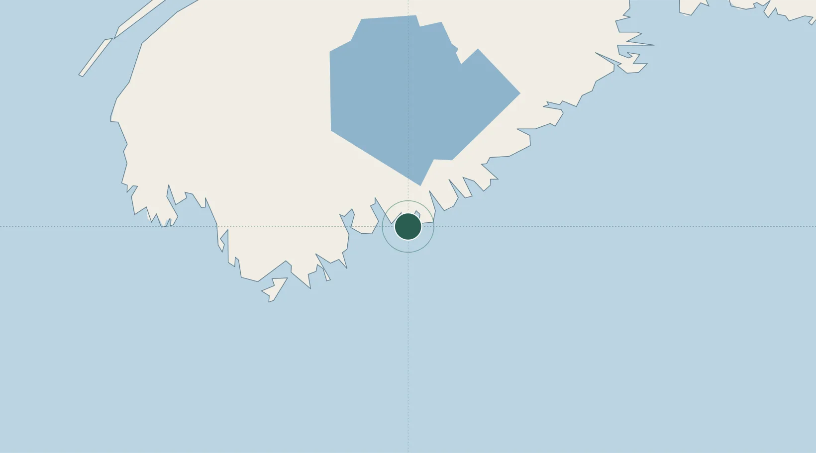
Location
Nearby Logistics Neighbours
Cities
- 1Sable River16 km
- 2Port Mouton34 km
- 3Barrington39 km
- 4Stoney Island45 km
- 5Clark's Harbour50 km
Ports
- 1Liverpool (Brooklyn)53 km
- 2Digby114 km
- 3Halifax162 km
- 4Windsor164 km
- 5Canaport (St. John)180 km
Airports
- 1Yarmouth Airport79 km
- 2Digby / Annapolis Regional Airport108 km
- 3CFB Greenwood144 km
- 4Halifax / Stanfield International Airport183 km
- 5Saint John Airport190 km
Trade Zones
- 1Halifax Gateway162 km
- 2Saint John191 km
- 3FTZ No. 058 Bangor319 km
- 4FTZ No. 186 Waterville378 km
- 5FTZ No. 263 Auburn410 km
DatabookThe Record of Consolidated Knowledge
Canada beyond logistics?