Transport Functions
Rail
Road
Hub Profile
Place type
Populated place
Region
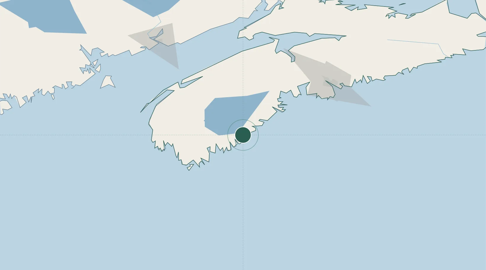
Nova Scotia
Time zone
America/Halifax
Elevation
31 m
Location
Nearby Logistics Neighbours
Cities
- 1Sable River20 km
- 2Lockeport34 km
- 3Hibernia46 km
- 4Pleasantville56 km
- 5Barrington71 km
Ports
- 1Liverpool (Brooklyn)20 km
- 2Digby105 km
- 3Halifax129 km
- 4Windsor131 km
- 5Musquodoboit Harbour165 km
Airports
- 1Yarmouth Airport100 km
- 2Digby / Annapolis Regional Airport101 km
- 3CFB Greenwood117 km
- 4Halifax / Stanfield International Airport150 km
- 5Saint John Airport174 km
Trade Zones
- 1Halifax Gateway129 km
- 2Saint John178 km
- 3FTZ No. 058 Bangor330 km
- 4FTZ No. 186 Waterville392 km
- 5Cape Breton Regional Municipality Foreign Trade Zone407 km
DatabookThe Record of Consolidated Knowledge
Canada beyond logistics?