Transport Functions
Rail
Road
Multimodal
Hub Profile
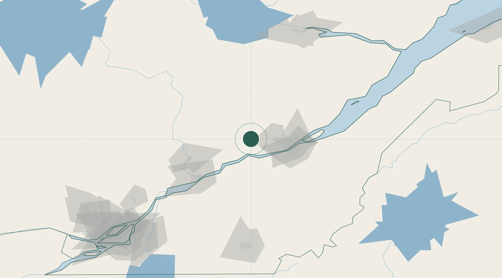
Place type
Populated place
Region
Quebec
Time zone
America/Toronto
Elevation
142 m
Location
Nearby Logistics Neighbours
Cities
- 1Pont-Rouge20 km
- 2Courcelette28 km
- 3Lotbinière32 km
- 4Laurier-Station44 km
- 5Vanier44 km
Ports
- 1Quebec48 km
- 2Port De Becancour70 km
- 3Trois Rivieres82 km
- 4Sorel136 km
- 5Contrecour154 km
Airports
- 1Quebec Jean Lesage International Airport36 km
- 2Trois-Rivières Airport89 km
- 3Saint-Georges Airport124 km
- 4Charlevoix Airport144 km
- 5Sherbrooke Airport163 km
Trade Zones
- 1Québec City FTZ45 km
- 2Greater Montreal Free Zone Center204 km
- 3FTZ No. 179 Madawaska268 km
- 4FTZ No. 186 Waterville310 km
- 5FTZ No. 058 Bangor330 km
DatabookThe Record of Consolidated Knowledge
Canada beyond logistics?