Transport Functions
Rail
Road
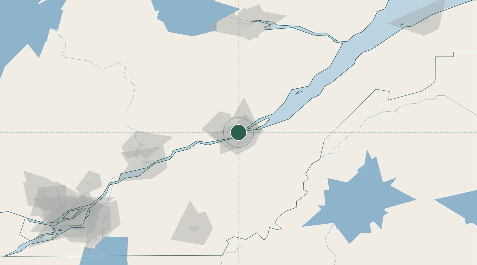
Hub Profile
Place type
Populated place
Region
Ontario
Population
17,000
Time zone
America/Toronto
Elevation
57 m
Location
Nearby Logistics Neighbours
Cities
- 1Saint-Frédéric2 km
- 2Lévis8 km
- 3Saint-Romuald-d'Etchemin8 km
- 4Saint-Jean-Chrysostome13 km
- 5Courcelette17 km
Ports
- 1Quebec4 km
- 2Port De Becancour97 km
- 3Trois Rivieres111 km
- 4Sorel165 km
- 5La Baie (Port Alfred)171 km
Airports
- 1Quebec Jean Lesage International Airport10 km
- 2Saint-Georges Airport91 km
- 3Charlevoix Airport117 km
- 4Trois-Rivières Airport120 km
- 5Sherbrooke Airport157 km
Trade Zones
- 1Québec City FTZ2 km
- 2FTZ No. 179 Madawaska228 km
- 3Greater Montreal Free Zone Center229 km
- 4FTZ No. 186 Waterville281 km
- 5FTZ No. 058 Bangor293 km
DatabookThe Record of Consolidated Knowledge
Canada beyond logistics?