Transport Functions
Port
Rail
Road
Multimodal
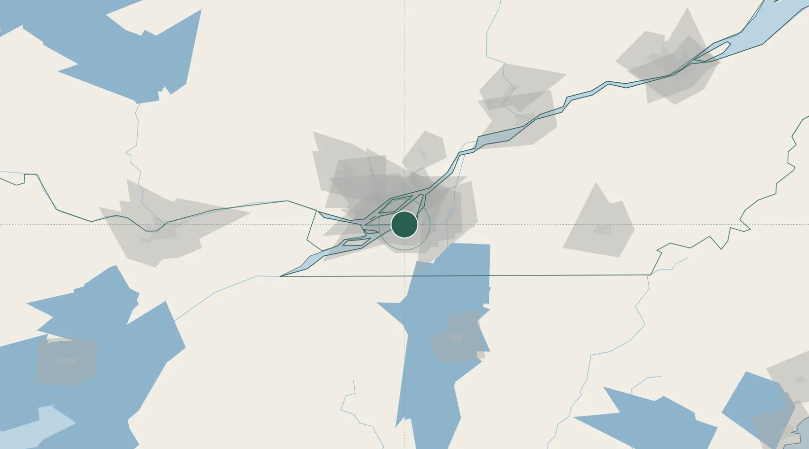
Hub Profile
Place type
Populated place
Region
Quebec
Time zone
America/Toronto
Elevation
21 m
Location
Nearby Logistics Neighbours
Cities
- 1Côte-Saint-Luc3 km
- 2Lachine/Montreal5 km
- 3Montreal6 km
- 4Kahnawake6 km
- 5Sainte-Catherine6 km
Ports
- 1Montreal10 km
- 2Beauharnois25 km
- 3Vaudreuil32 km
- 4Oka Sur Le Lac35 km
- 5Hudson39 km
Airports
Trade Zones
- 1Greater Montreal Free Zone Center9 km
- 2FTZ No. 118 Ogdensburg169 km
- 3Québec City FTZ239 km
- 4FTZ No. 109 Watertown242 km
- 5FTZ No. 268 Brattleboro299 km
DatabookThe Record of Consolidated Knowledge
Canada beyond logistics?