UN/LOCODE hub · Canada
CACSU
Côte-Saint-Luc
45.4667°, -73.6667°
31,395
Population
2
Transport functions
Transport Functions
Road
Multimodal
Hub Profile
Place type
Populated place
Region
Quebec
Population
31,395
Time zone
America/Toronto
Elevation
47 m
Location
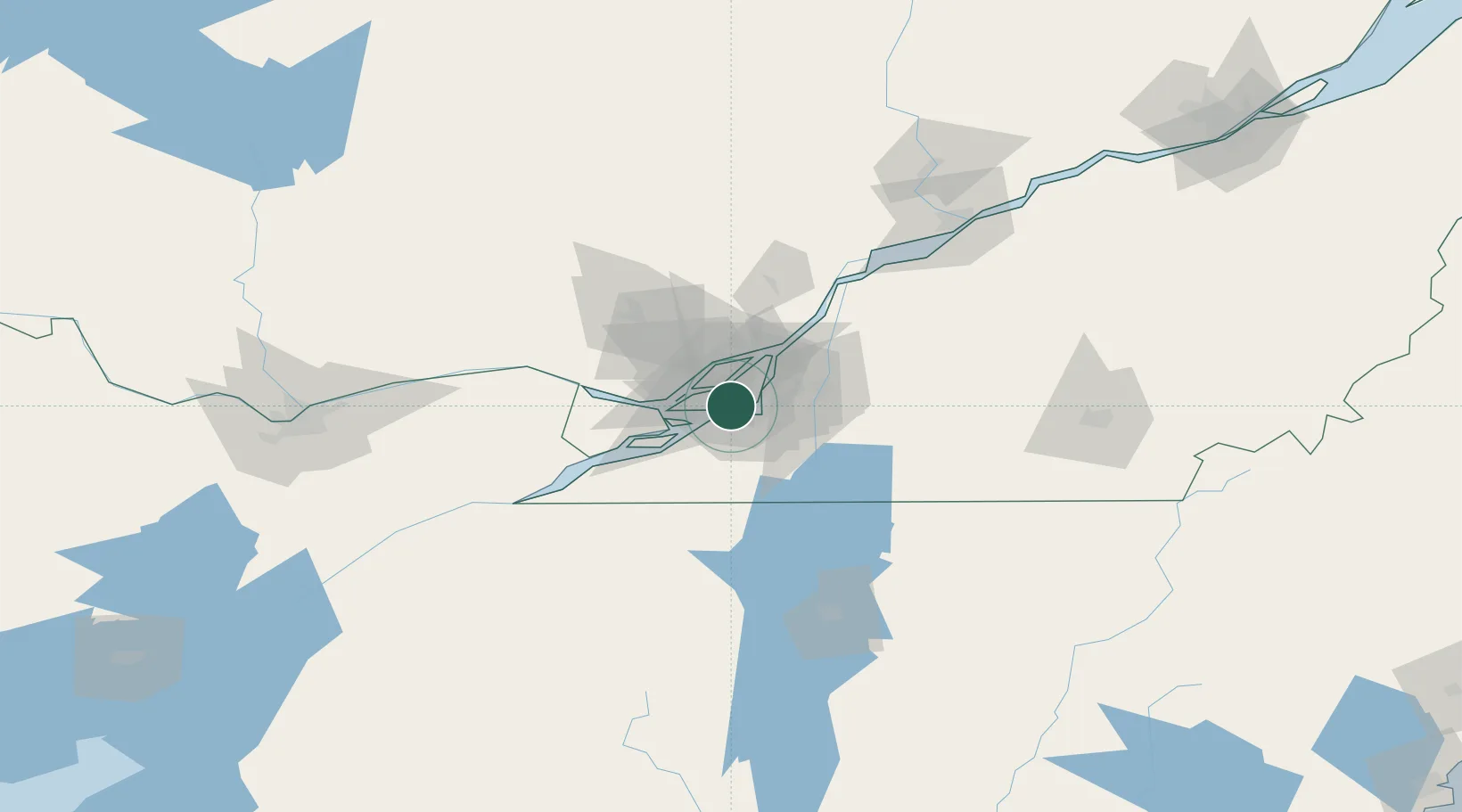
Nearby Logistics Neighbours
Cities
- 1Lachine/Montreal2 km
- 2Saint-Pierre3 km
- 3Montreal5 km
- 4Saint-Laurent7 km
- 5Kahnawake7 km
Ports
- 1Montreal11 km
- 2Beauharnois24 km
- 3Vaudreuil30 km
- 4Oka Sur Le Lac33 km
- 5Hudson36 km
Airports
Trade Zones
- 1Greater Montreal Free Zone Center9 km
- 2FTZ No. 118 Ogdensburg167 km
- 3Québec City FTZ240 km
- 4FTZ No. 109 Watertown241 km
- 5FTZ No. 268 Brattleboro302 km
DatabookThe Record of Consolidated Knowledge
Canada beyond logistics?