UN/LOCODE hub · Canada
CASCT
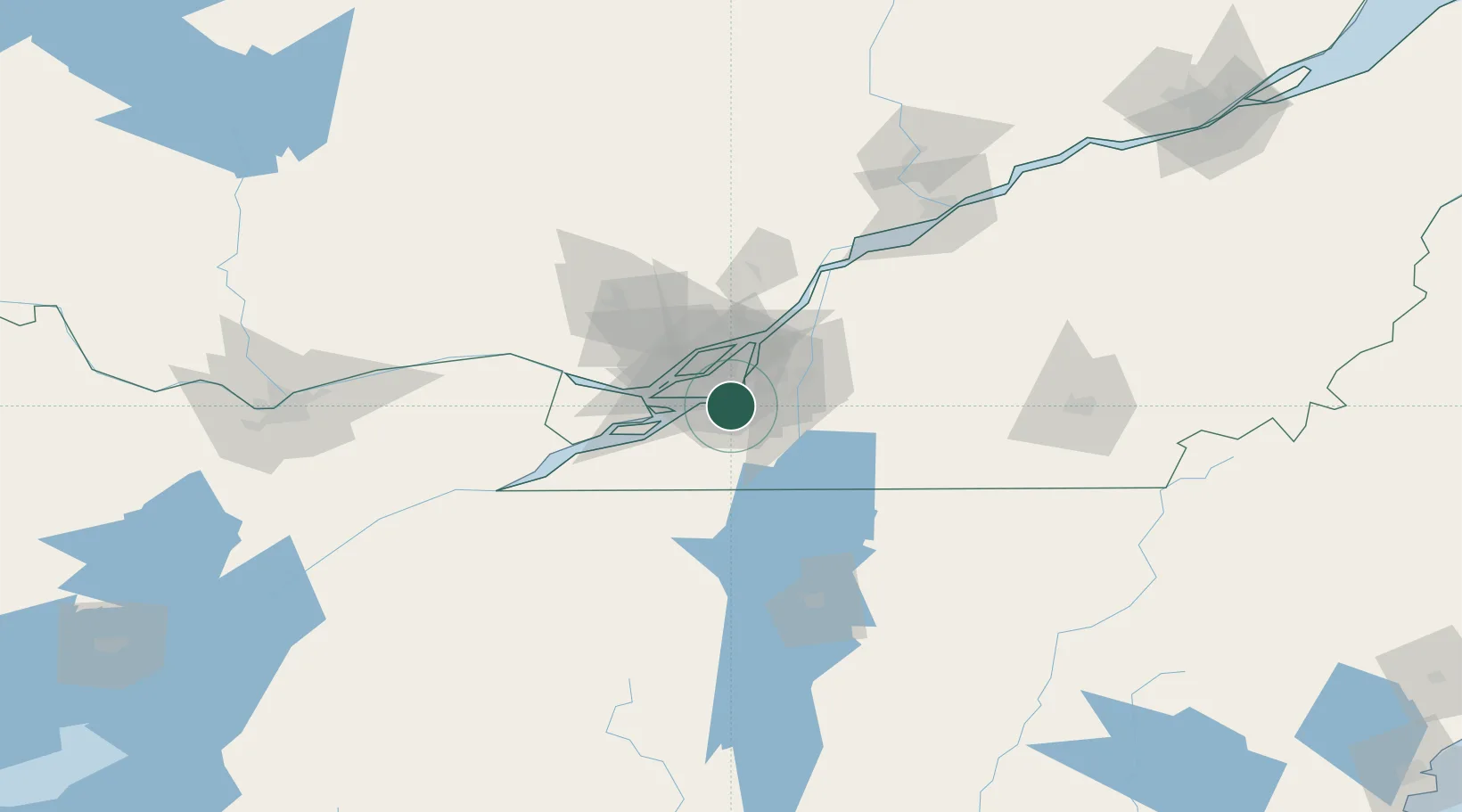
Sainte-Catherine
45.4052°, -73.5869°
16,762
Population
3
Transport functions
Transport Functions
Port
Road
Multimodal
Hub Profile
Place type
Populated place
Region
Quebec
Population
16,762
Time zone
America/Toronto
Elevation
25 m
Logistics facilities
1
Location
Nearby Logistics Neighbours
Cities
- 1Saint-Pierre6 km
- 2Kahnawake6 km
- 3Saint-Constant6 km
- 4Côte-Saint-Luc9 km
- 5Lachine/Montreal10 km
Ports
- 1Montreal13 km
- 2Beauharnois25 km
- 3Vaudreuil35 km
- 4Oka Sur Le Lac39 km
- 5Hudson43 km
Airports
Trade Zones
- 1Greater Montreal Free Zone Center12 km
- 2FTZ No. 118 Ogdensburg170 km
- 3Québec City FTZ240 km
- 4FTZ No. 109 Watertown241 km
- 5FTZ No. 268 Brattleboro294 km
DatabookThe Record of Consolidated Knowledge
Canada beyond logistics?