UN/LOCODE hub · Canada
CAMTR
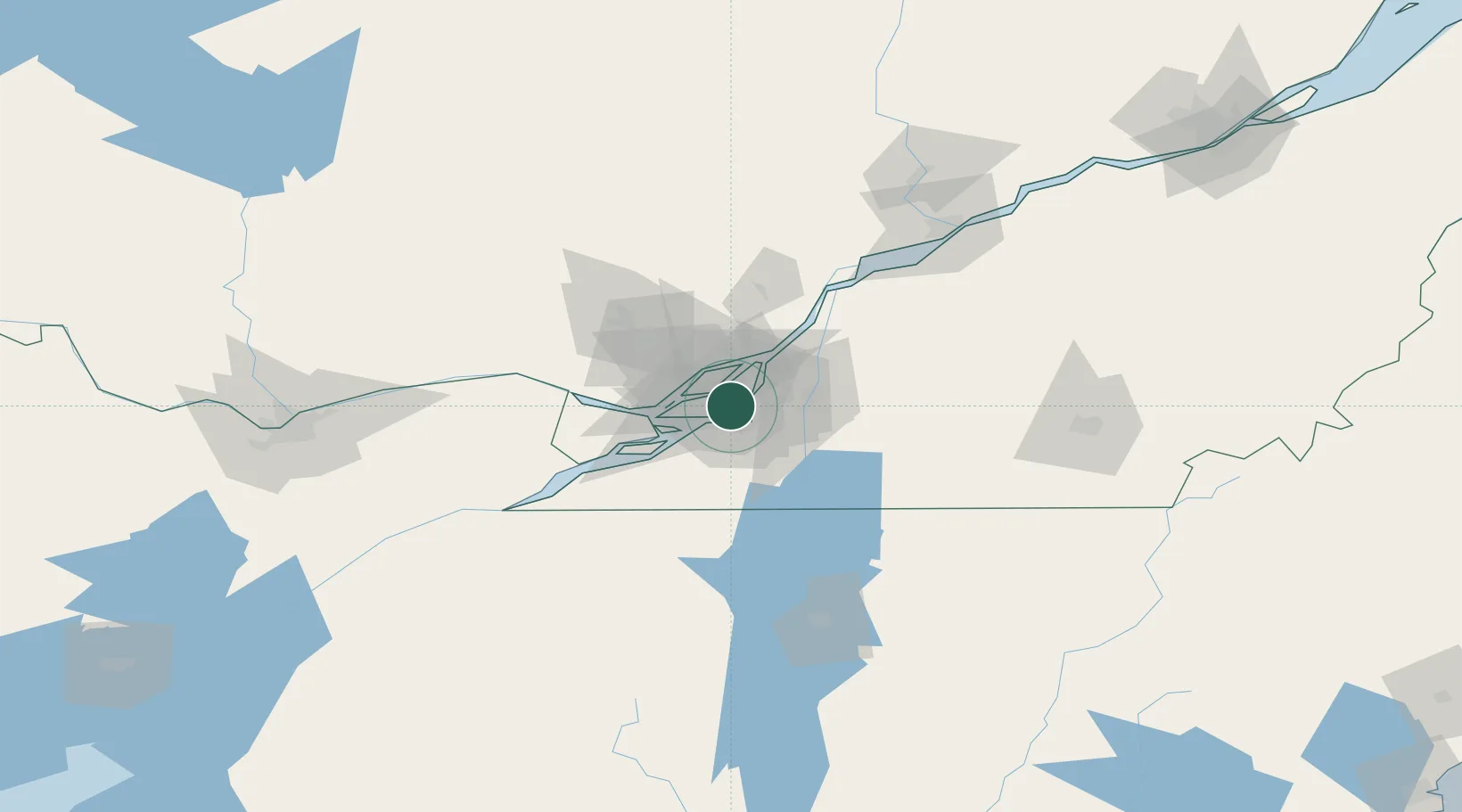
Montreal
45.4992°, -73.6169°
1,762,949
Population
3
Transport functions
4
Container terminals
Transport Functions
Port
Airport
Postal
Hub Profile
Place type
Provincial seat
Region
Quebec
Population
1,762,949
Time zone
America/Toronto
Elevation
216 m
Logistics facilities
66
Container terminals
4
Location
Nearby Logistics Neighbours
Cities
- 1Côte-Saint-Luc5 km
- 2Saint-Pierre6 km
- 3Lachine/Montreal7 km
- 4Saint-Lambert9 km
- 5Montréal-Nord9 km
Ports
- 1Beauharnois29 km
- 2Vaudreuil34 km
- 3Oka Sur Le Lac37 km
- 4Hudson40 km
- 5St Placide46 km
Airports
Trade Zones
- 1Greater Montreal Free Zone Center4 km
- 2FTZ No. 118 Ogdensburg173 km
- 3Québec City FTZ235 km
- 4FTZ No. 109 Watertown246 km
- 5FTZ No. 268 Brattleboro304 km
DatabookThe Record of Consolidated Knowledge
Canada beyond logistics?