Transport Functions
Rail
Road
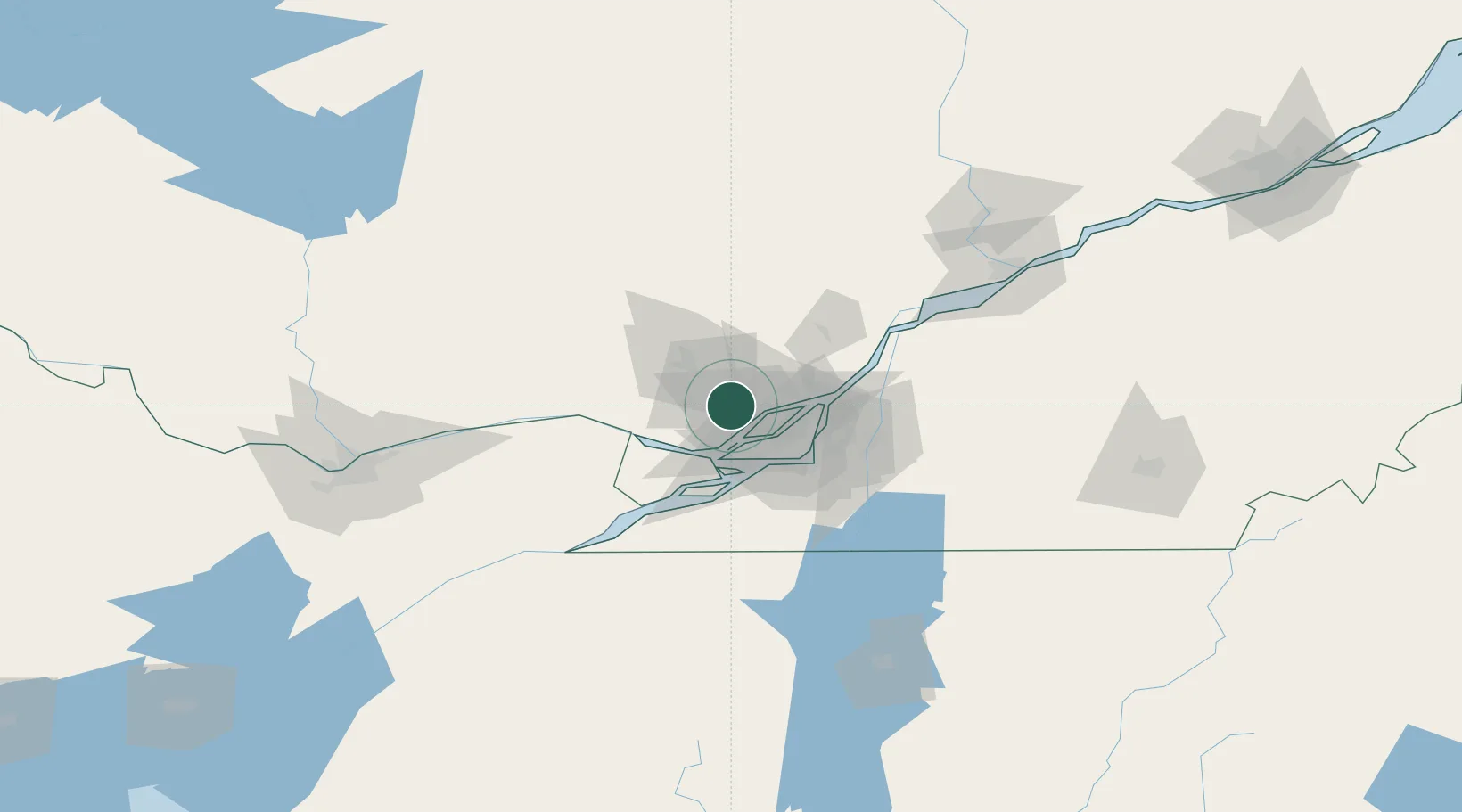
Hub Profile
Place type
Populated place
Region
Quebec
Time zone
America/Toronto
Elevation
66 m
Location
Nearby Logistics Neighbours
Cities
- 1Saint-Antoine-des-Laurentides7 km
- 2Sainte-Thérèse9 km
- 3Sainte-Anne-des-Plaines11 km
- 4Saint-Eustache15 km
- 5Saint-Joseph-du-Lac21 km
Ports
- 1St Placide29 km
- 2Oka Sur Le Lac29 km
- 3Hudson31 km
- 4Vaudreuil35 km
- 5Montreal35 km
Airports
Trade Zones
- 1Greater Montreal Free Zone Center35 km
- 2FTZ No. 118 Ogdensburg166 km
- 3Québec City FTZ240 km
- 4FTZ No. 109 Watertown246 km
- 5FTZ No. 172 Oneida County321 km
DatabookThe Record of Consolidated Knowledge
Canada beyond logistics?