Transport Functions
Rail
Road
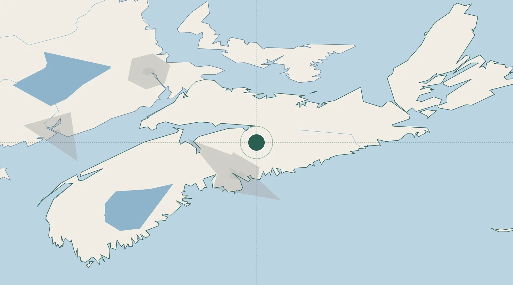
Hub Profile
Place type
Populated place
Region
Nova Scotia
Population
1,557
Time zone
America/Halifax
Elevation
42 m
Location
Nearby Logistics Neighbours
Cities
- 1Shubenacadie8 km
- 2Brookfield14 km
- 3Debert Station33 km
- 4Densmore Mills34 km
- 5Fall River42 km
Ports
- 1Musquodoboit Harbour42 km
- 2Halifax57 km
- 3Windsor66 km
- 4Pictou76 km
- 5Charlottetown123 km
Airports
- 1Halifax / Stanfield International Airport31 km
- 2Fox Harbour Airport83 km
- 3CFB Greenwood126 km
- 4Charlottetown Airport130 km
- 5Summerside Airport150 km
Trade Zones
- 1Halifax Gateway57 km
- 2Saint John215 km
- 3Cape Breton Regional Municipality Foreign Trade Zone231 km
- 4FTZ No. 058 Bangor433 km
- 5FTZ No. 179 Madawaska453 km
DatabookThe Record of Consolidated Knowledge
Canada beyond logistics?