UN/LOCODE hub · Canada
CAMUS
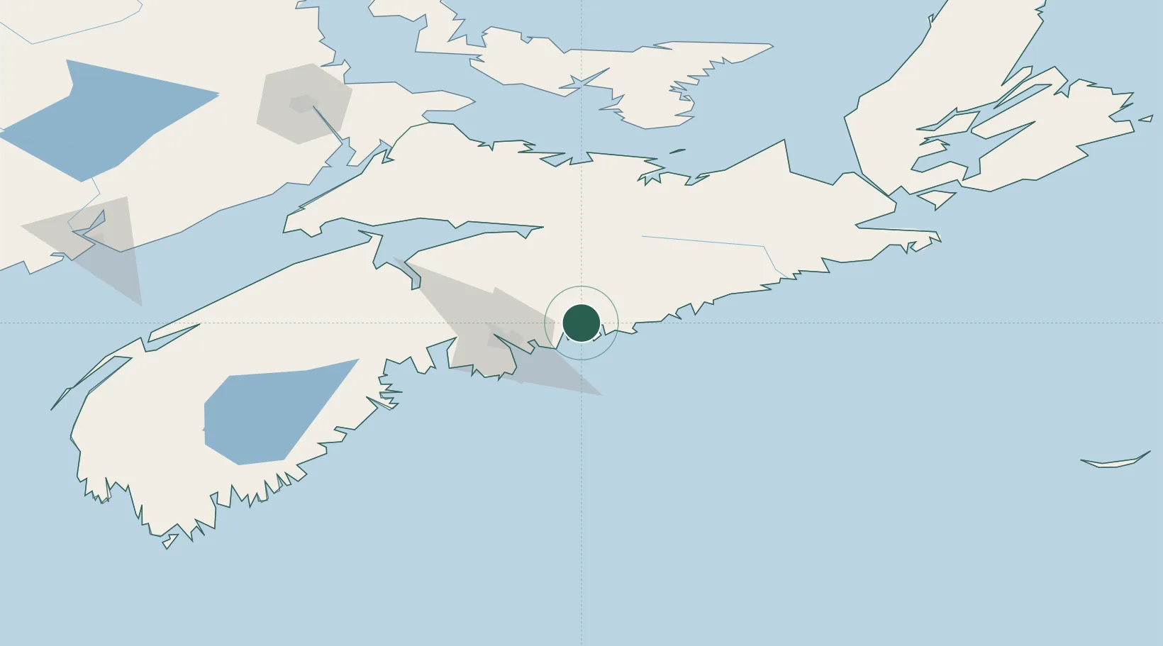
Musquodoboit Harbour
44.7833°, -63.1333°
1,714
Population
1
Transport functions
Transport Functions
Port
Hub Profile
Place type
Populated place
Region
Nova Scotia
Population
1,714
Time zone
America/Halifax
Elevation
13 m
Location
Nearby Logistics Neighbours
Cities
- 1Minesville22 km
- 2Dartmouth35 km
- 3Waverley37 km
- 4Fall River38 km
- 5Shubenacadie39 km
Airports
- 1Halifax / Stanfield International Airport32 km
- 2Fox Harbour Airport124 km
- 3CFB Greenwood142 km
- 4Charlottetown Airport167 km
- 5Port Hawkesbury Airport169 km
Trade Zones
- 1Halifax Gateway38 km
- 2Saint John237 km
- 3Cape Breton Regional Municipality Foreign Trade Zone241 km
- 4FTZ No. 058 Bangor448 km
- 5FTZ No. 179 Madawaska488 km
DatabookThe Record of Consolidated Knowledge
Canada beyond logistics?