UN/LOCODE hub · Canada
CASFE
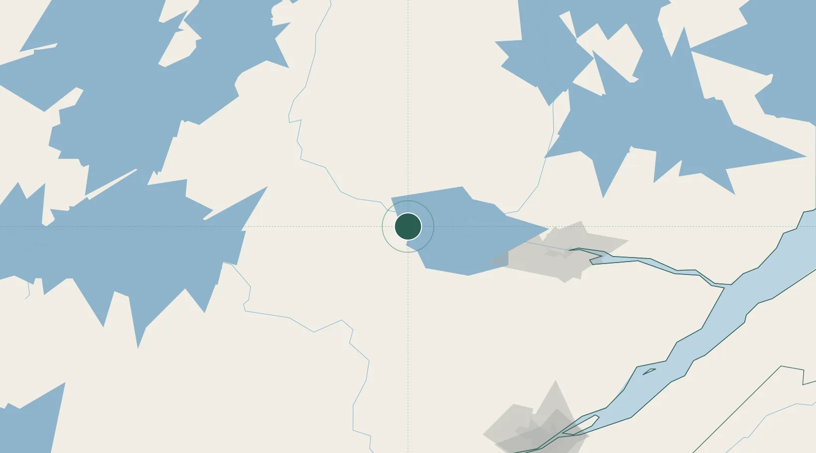
Saint-Félicien
48.6500°, -72.4500°
10,278
Population
2
Transport functions
Transport Functions
Rail
Road
Hub Profile
Place type
Populated place
Region
Quebec
Population
10,278
Time zone
America/Toronto
Elevation
111 m
Location
Nearby Logistics Neighbours
Cities
- 1Mistassini32 km
- 2Chambord39 km
- 3Métabetchouan-Lac-à-la-Croix49 km
- 4Saint-Gédéon52 km
- 5L'Ascension-de-Notre-Seigneur57 km
Ports
- 1Chicoutimi (Port Saguenay)105 km
- 2La Baie (Port Alfred)121 km
- 3Quebec224 km
- 4Riviere Du Loup235 km
- 5Port De Becancour250 km
Airports
- 1Dolbeau-Saint-Felicien Airport15 km
- 2Roberval Airport20 km
- 3Alma Airport62 km
- 4Saguenay-Bagotville Airport113 km
- 5Chapais Airport196 km
Trade Zones
- 1Québec City FTZ221 km
- 2FTZ No. 179 Madawaska342 km
- 3Greater Montreal Free Zone Center359 km
- 4FTZ No. 118 Ogdensburg496 km
- 5FTZ No. 186 Waterville503 km
DatabookThe Record of Consolidated Knowledge
Canada beyond logistics?