Transport Functions
Rail
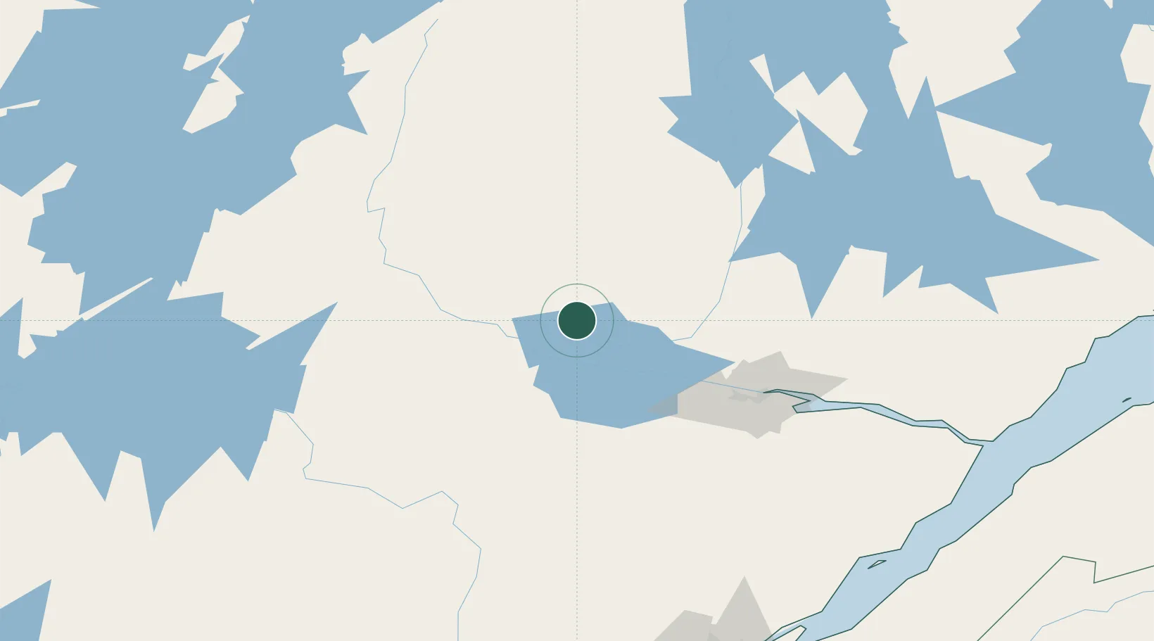
Hub Profile
Place type
Populated place
Region
Quebec
Time zone
America/Toronto
Elevation
132 m
Location
Nearby Logistics Neighbours
Cities
- 1Saint-Félicien32 km
- 2L'Ascension-de-Notre-Seigneur43 km
- 3Chambord53 km
- 4Saint-Gédéon54 km
- 5Métabetchouan-Lac-à-la-Croix56 km
Ports
- 1Chicoutimi (Port Saguenay)97 km
- 2La Baie (Port Alfred)115 km
- 3Riviere Du Loup230 km
- 4Quebec241 km
- 5Rimouski275 km
Airports
- 1Dolbeau-Saint-Felicien Airport17 km
- 2Roberval Airport41 km
- 3Alma Airport58 km
- 4Saguenay-Bagotville Airport108 km
- 5Chapais Airport196 km
Trade Zones
- 1Québec City FTZ239 km
- 2FTZ No. 179 Madawaska338 km
- 3Greater Montreal Free Zone Center389 km
- 4FTZ No. 186 Waterville519 km
- 5FTZ No. 058 Bangor521 km
DatabookThe Record of Consolidated Knowledge
Canada beyond logistics?