Medium airport · Canada
Matagami AirportCYNM
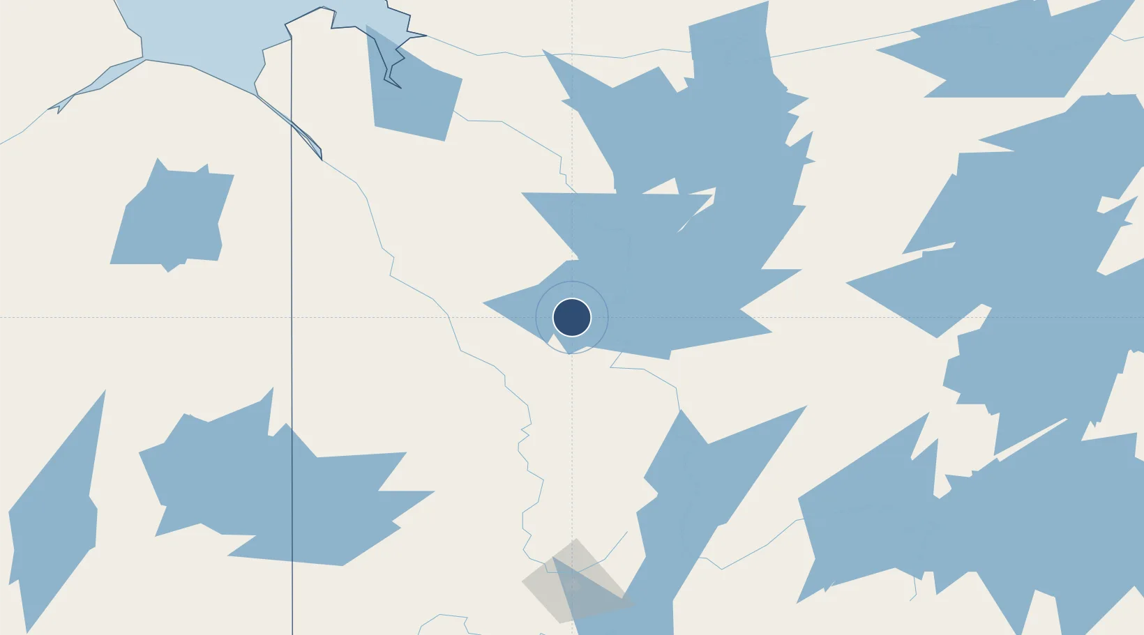
49.7617°, -77.8028°
5,000 ft
Longest runway
1
Runways
918 ft
Elevation
Runway & Layout

Radio Frequencies
AWOS
127.45 MHz
RCO
123.55 MHz
QUEBEC RDO
UNIC
122.8 MHz
ATF/UNICOM
Navaids
NM NDB Matagami 278 kHz
Runways · 1
| Runway | Dimensions | Surface | True heading | Lit |
|---|---|---|---|---|
| 15/33 | 5,000 × 100ft | Asphalt | 134° | ✓ |
Airport Specifications
IATA code
YNM
ICAO code
CYNM
Airport class
Medium airport
Scheduled service
No
Runway surface
Asphalt
Served city
Matagami
Location
Nearby Logistics Neighbours
Airports
- 1Amos/Magny Airport137 km
- 2Rouyn Noranda Airport189 km
- 3Val-d'Or Airport190 km
- 4Waskaganish Airport202 km
- 5Kirkland Lake Airport235 km
Cities
- 1Senneterre157 km
- 2Preissac157 km
- 3Cadillac177 km
- 4Malartic183 km
- 5Rouyn-Noranda192 km
Ports
- 1Key Harbour484 km
- 2Byng Inlet490 km
- 3Thurso501 km
- 4Gatineau502 km
- 5Masson503 km
Trade Zones
- 1Greater Montreal Free Zone Center570 km
- 2Québec City FTZ584 km
- 3FTZ No. 118 Ogdensburg588 km
- 4FTZ No. 109 Watertown658 km
- 5FTZ No. 090 Onondaga708 km
DatabookThe Record of Consolidated Knowledge
Canada beyond logistics?